
Yukon travel begins with route, land status, season, and permissions rather than a list of scenic superlatives. Whitehorse, Dawson, the Dempster Highway, Tombstone Territorial Park, and Kluane National Park and Reserve each require a different transport and access plan.

Start With Yukon Geography and Governance
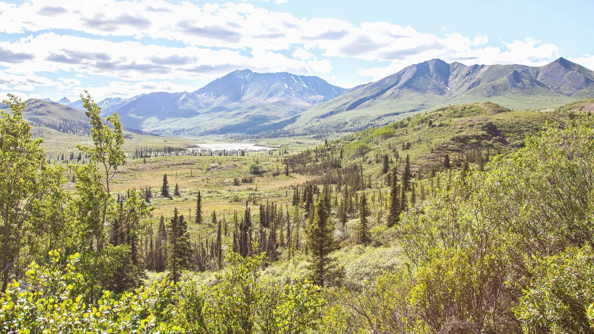
Yukon is a territory with communities separated by long highway corridors and large areas without ordinary visitor services. A place name on a map does not establish fuel, phone coverage, lodging, public access, or a practical day trip.
The Government of Yukon identifies 14 Yukon First Nations and says their traditional territories cover all land in the territory. Transboundary Indigenous groups also hold rights in Yukon.
Respect exact land status
Traditional territory, Settlement Land, public land, private land, territorial park, and national park land are different categories. A general travel guide cannot grant permission to camp, drive off road, harvest, or enter a cultural site.
Camping on Settlement Land requires permission from the relevant First Nation, while private land requires the landowner's permission. Identify the exact parcel before assuming a remote roadside area is public.


Build the Trip From Highway Modules
Whitehorse is the main service and transport hub for many itineraries, but it is not the starting point for every activity. Dawson, Kluane, the Southern Lakes, and the Dempster corridor pull a route in different directions.
Choose one major corridor before adding remote parks. The 511 Yukon service provides current road conditions, weather, incidents, construction, restrictions, closures, rest areas, pullouts, and border information.
A blank report is not an all-clear
Missing information does not prove that a road is open or suitable for the vehicle. Check the full route, current alerts, fuel plan, tire requirements, and alternate stopping points.
Download maps and key confirmations before leaving a serviced community. Connectivity can weaken long before a route looks remote on a small map.
Match the Season to the Activity
Summer can bring long daylight and more visitor services, while winter changes roads, temperatures, daylight, and equipment needs. Spring breakup, wildfire, smoke, flooding, freeze-up, and shoulder-season closures can affect a trip outside neat calendar boundaries.
There is no universal best time. Choose dates only after checking the selected road, park, accommodation, tour, ferry, and activity.
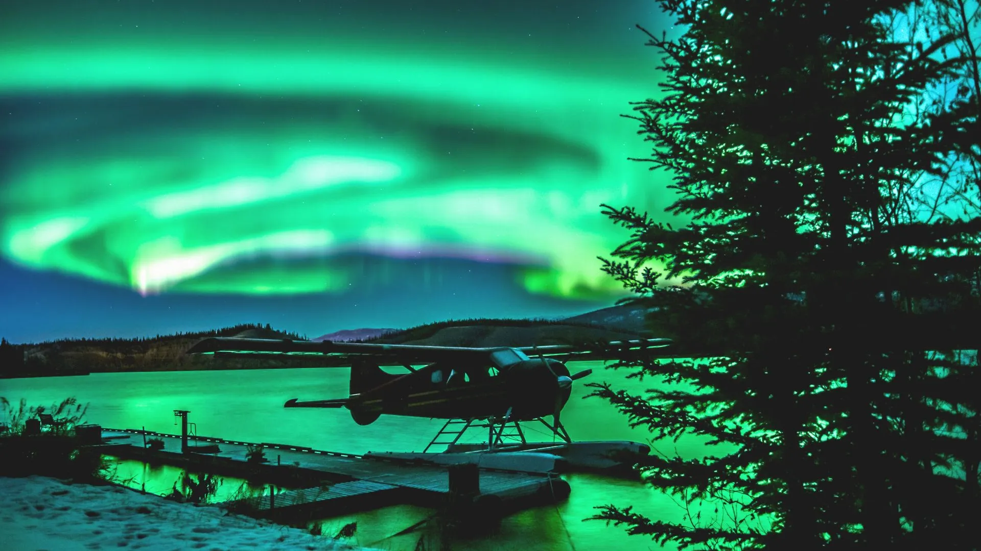
Northern lights are never promised
Darkness, cloud, solar activity, local light, horizon, and timing all affect aurora viewing. A winter trip may offer darker nights without guaranteeing a display.
Build the visit around experiences that remain worthwhile under an ordinary night sky. Treat any northern-lights sighting as a variable natural event rather than the sole measure of success.


The Dempster Highway Is Its Own Expedition
Government sources describe the Dempster as Canada's only all-season highway crossing the Arctic Circle. All-season is a route classification, not a promise of smooth pavement, easy driving, open services, or uninterrupted travel.
Yukon warns that the highway includes gravel and permafrost-affected sections. Road surface, dust, weather, construction, tire damage, fuel, and service gaps require a vehicle-specific plan.
Do not improvise the northern extension
Confirm fuel locations and operating status before departure, then carry supplies appropriate to the route and conditions. A spare tire is only useful when the traveler has the equipment and knowledge to use it.
Do not estimate the journey from distance alone. Stops, road conditions, wildlife on the roadway, construction, and repairs can substantially change the day.
Tombstone Territorial Park
Tombstone is a Yukon territorial park along the Dempster Highway. The territorial government describes it as remote, with no food, gas, or phone service in the park and few established trails.
Backcountry camping in specified areas involves permits or registration. An interpretive center season, campground status, and trail condition must be checked for the actual date.
Choose a road-accessible or backcountry visit
A roadside viewpoint and interpretive stop requires less logistics than an overnight backcountry route. Do not let dramatic photography blur that difference.
Weather can change quickly, and a trail label does not guarantee suitability for every hiker. Match the route to navigation ability, equipment, current conditions, and the least experienced person.


Kluane National Park and Reserve
Use the full name Kluane National Park and Reserve. The Alaska Highway and Haines Road parallel the park boundary, while limited roads enter selected areas and most deeper access is nonmotorized.
Parks Canada directions identify Haines Junction as the administrative center and explain the limited road approaches. Mount Logan and the icefields are not reached by an ordinary sightseeing road.
Overnight and aircraft rules
Parks Canada requires backcountry permits and registration for overnight use during its stated regulated period and requires approved bear-resistant food canisters. Current closures, fire rules, and wildlife notices can add further restrictions.
Aircraft landings require advance permits, and personal drones are prohibited. A commercial flightseeing advertisement does not replace the operator's authorizations or park rules.
Wildlife viewing without guarantees
Yukon habitats support many species, but no road or trail promises a bear, caribou, moose, sheep, or bird sighting. Observe from the distance required by the manager and never feed or approach wildlife.
Build the day around landscapes, interpretation, and a confirmed route. This prevents risky decisions made only to pursue a photograph.

Dawson and Tr'ondëk-Klondike
Dawson is one component of the Tr'ondëk-Klondike World Heritage property, not the entire designation. UNESCO describes an eight-component serial property within the homeland of the Tr'ondëk Hwëch'in.
Interpretation should include the colonial disruption caused by the gold rush and the continuing culture and governance of the Tr'ondëk Hwëch'in. Reducing the place to nostalgic prospecting imagery leaves out the central meaning of the designation.
Seasonal services and river crossing
Dawson's territorial visitor information center operates seasonally. The George Black Ferry connects the city side of the Yukon River with the Top of the World Highway side during its operating season.
Do not hardcode ferry dates or assume a crossing will run. The separate winter crossing exists only when authorities establish and open it under suitable conditions.
Whitehorse as a Practical Base
Whitehorse can support arrival, supplies, museums, local trails, and preparation for a longer highway route. It should not be treated as proof that services remain frequent elsewhere in the territory.
Use the local visitor center and exact operators to confirm activities. A route that works without a car inside Whitehorse may still need a vehicle or arranged transfer for remote trailheads.
Southern and eastern branches
Carcross, the Southern Lakes, Watson Lake, and other communities can be separate route modules. Each has its own First Nation context, road conditions, operating seasons, and services.
Travelers comparing northern Canadian contexts can read the Nunavut facts and travel guide. Yukon road access should never be transferred to Nunavut communities, and Nunavut transport assumptions should not be transferred to Yukon.


Build a Resilient Yukon Itinerary
Begin with one service hub and one major route. Add a second region only when fuel, lodging, transport, permits, road status, and recovery time remain realistic.
Keep a flexible day between remote modules or a ferry-dependent branch and a fixed flight. The goal is not to predict a disruption, but to avoid making every reservation depend on perfect conditions.
What to carry
Pack for the selected activity and current forecast, with water, food, layers, navigation, communication, and vehicle supplies appropriate to the corridor. Remote travel can require equipment beyond an ordinary city road trip.
Confirm what rental agreements allow on gravel or remote highways. Insurance, roadside assistance, tire coverage, mileage, and cross-border use are contract-specific.
Culture and Community Visits
Use each First Nation's official information for cultural centers, events, exhibits, and protocols. Do not assume that a community celebration is scheduled for visitors or that traditional activities are public tourism products.
Buy art and services through current public businesses or authorized events. Ask before photographing people, ceremonies, or culturally sensitive places.
For another provincial and territorial comparison, the New Brunswick travel guide illustrates a very different coastal, ferry, and bilingual context. It should remain a separate trip rather than a generic Canada template.
A trip built around major highways and mountain parks may also benefit from comparing this Alberta travel guide. Use it as a planning contrast only, since Yukon access, distances, services, and Indigenous land responsibilities require their own checks.
Before any remote leg, record the last confirmed fuel, food, lodging, communications, and emergency-information points. Current local advice and official notices should replace assumptions drawn from an old itinerary.

Final Checks
Review 511 Yukon, weather, wildfire and emergency notices, park bulletins, permits, land status, ferry operation, fuel, lodging, and operator messages. Repeat the check before each major departure rather than only before the flight north.
Keep documents, maps, contacts, and confirmations available offline. Tell a reliable person the route and expected return when leaving ordinary services.
Bottom Line
Yukon's appeal comes with distinct jurisdictions, long corridors, remote parks, and living Indigenous homelands. A strong itinerary respects those differences and does not treat the territory as an unrestricted wilderness playground.
Choose a route, verify land and park permissions, and let current conditions control the final plan. That leaves room for northern landscapes without promising aurora, wildlife, ferry access, or an easy road.

Ellie is the founder of Ellie's Travel Tips, where she shares practical cruise tips, port guides, and step-by-step itineraries to help you plan smarter trips for less. Her checklists and packing guides turn travel daydreams into doable plans.