
Duluth makes an excellent waterfall base, but many popular lists quietly stretch “Duluth” across Minnesota's North Shore and into Wisconsin. This guide separates city creek falls, Minnesota day trips, and cross-border extensions so you can plan the right distance and conditions.


Three Different Waterfall Trips From Duluth
A city outing uses Duluth parks and creek corridors such as Chester Creek, Tischer Creek, Lester River, and Keene Creek. These are the right choices when you want to combine a waterfall walk with food, museums, or the Lakewalk.
A North Shore day trip follows Minnesota's Lake Superior parks beyond the city. Gooseberry Falls, Cascade River, Judge CR Magney, and Grand Portage belong to this regional category, not to Duluth itself.
A Wisconsin extension crosses the state line for Amnicon Falls or Pattison State Park. That can be a strong second-day plan, but it involves a different park system, admission rules, trail notices, and route.
Thinking in these three zones prevents the most common planning mistake: combining attractions that sound nearby without leaving enough time to drive, walk, check conditions, and return before dark.
Duluth City Waterfall Walks
The City of Duluth natural-resources program identifies park systems associated with Chester Creek, Lester River, Keene Creek, and Tischer Creek. Use the city rather than a reposted map to confirm current trail access and closures.

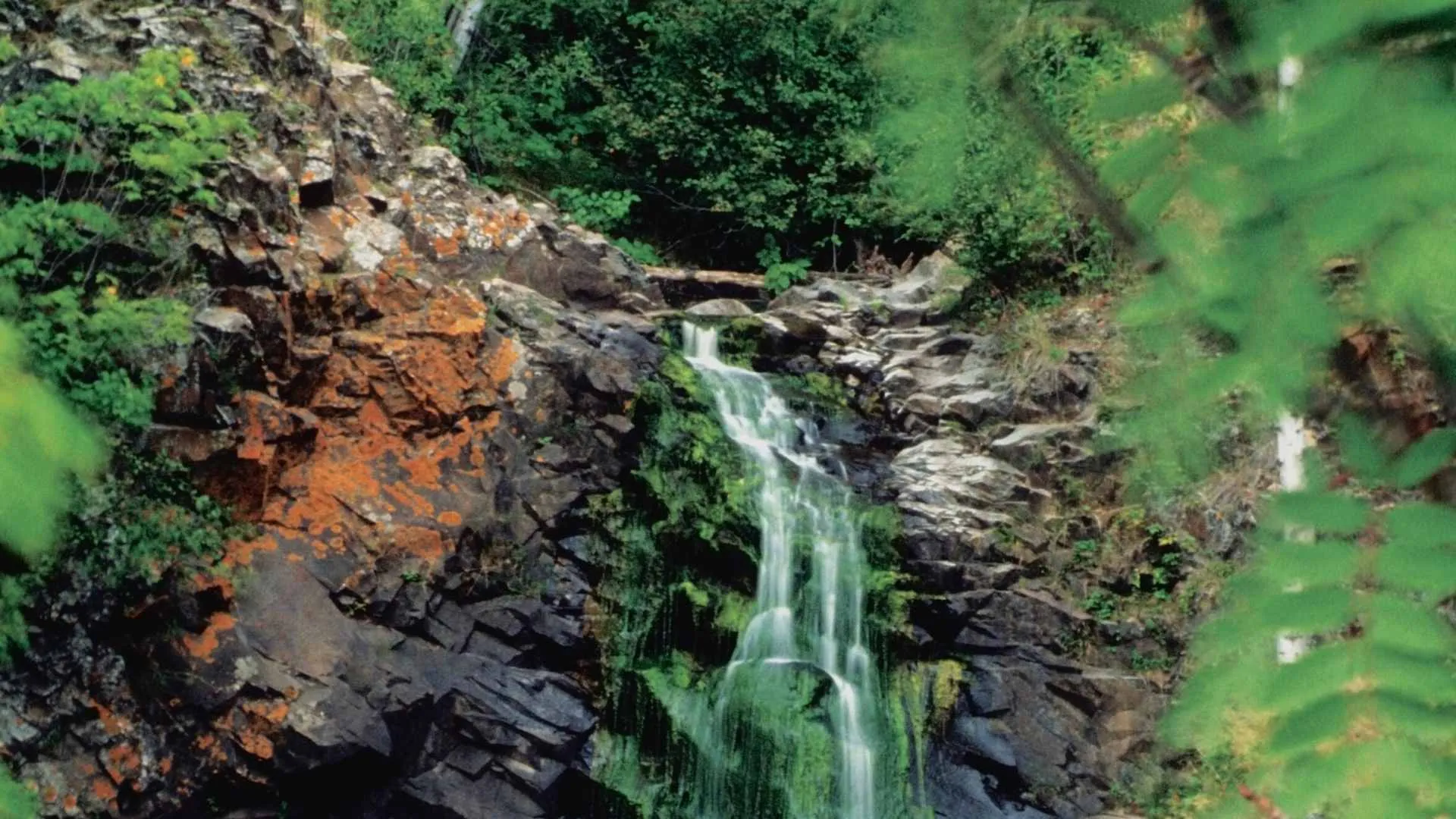
Chester Creek
Chester Creek is the most natural starting point for a city-focused waterfall day because it keeps the visit within Duluth. Treat it as a creek-and-park walk with cascades rather than promising one fixed dramatic viewpoint.
Check which trail segments are open, where public parking is permitted, and whether wet or icy surfaces fit your group. Creek levels and visible flow change with snowmelt, rain, and dry spells.

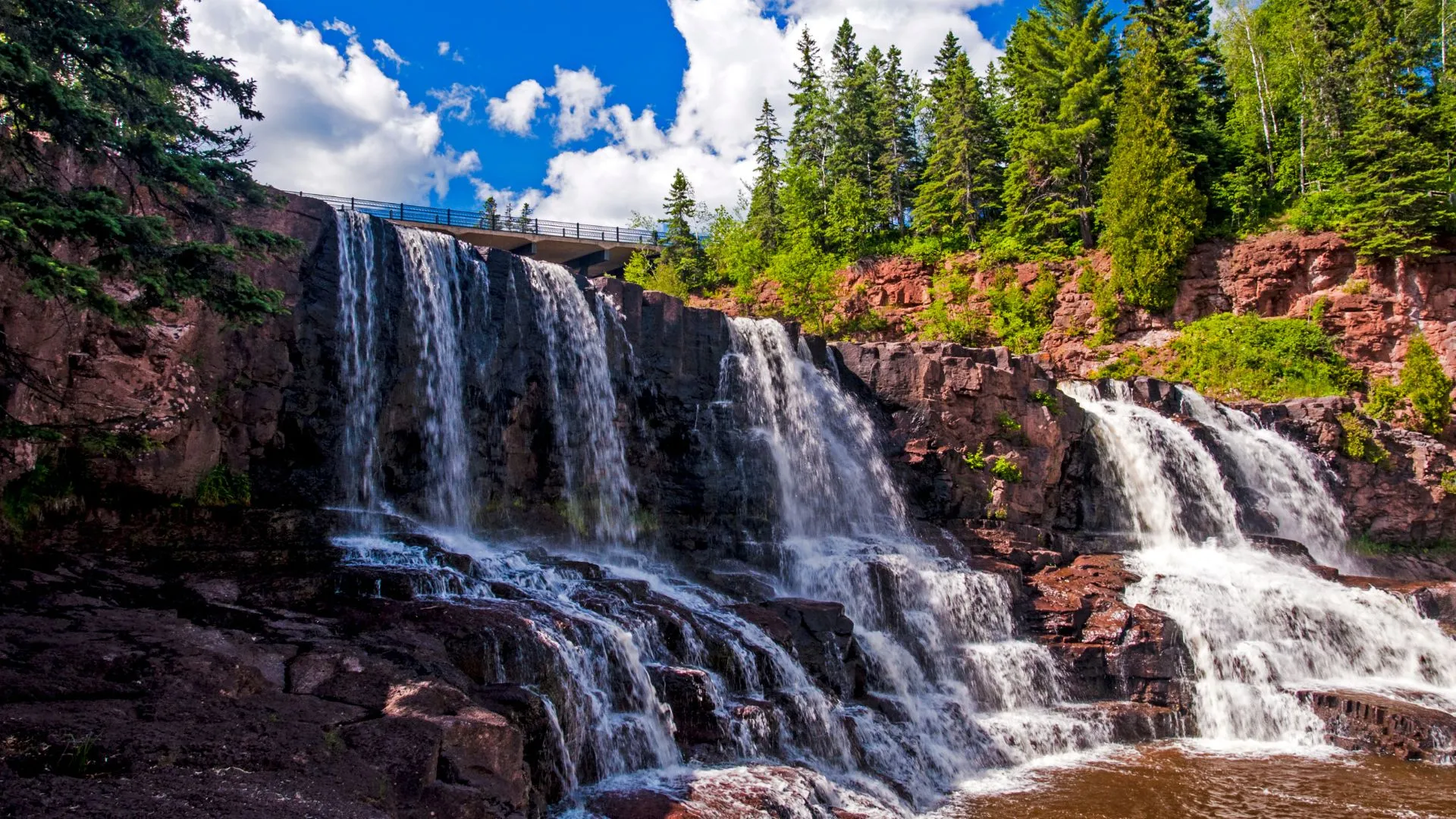
Tischer Creek
Tischer Creek runs through another city park system and gives visitors a different urban nature walk. Exact access should come from current Duluth park information because an image filename does not prove which cascade or trail entrance it shows.
Choose this option when your priority is a flexible local walk rather than a single landmark fall. Turn around if water covers the trail, ice obscures footing, or a closure blocks the intended segment.


Lester River
Lester River belongs in the city section, but river conditions can make one visit look very different from another. Plan around the public park and marked routes, not an improvised scramble toward the water.
This is a useful choice for travelers building a broader list of Minnesota outdoor activities. Confirm trail surfaces, restroom availability, and parking for the exact access point you intend to use.

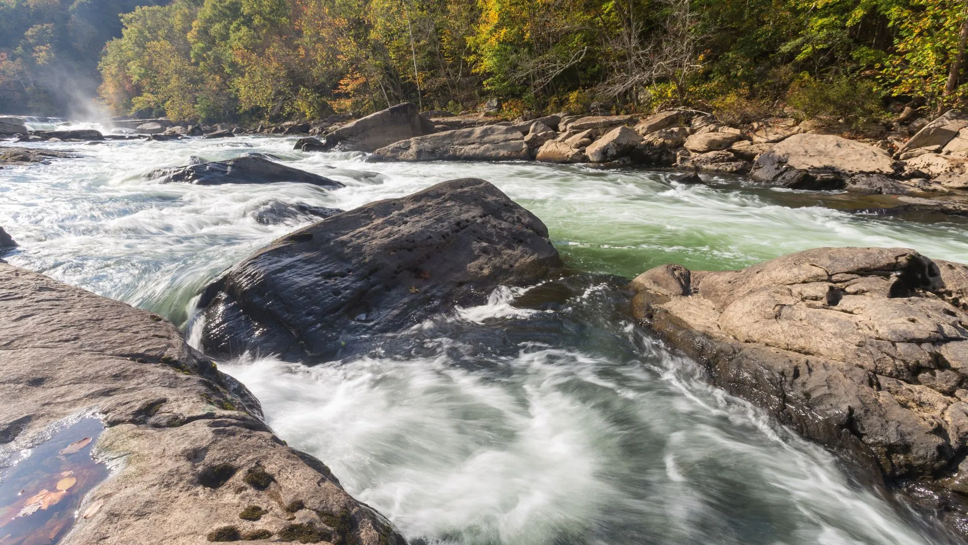
Keene Creek and Other City Corridors
Keene Creek is part of Duluth's managed natural-resource network, but that does not make every bank a formal visitor route. Use signed public access and avoid treating private parcels, drainage infrastructure, or steep informal paths as attractions.
A city waterfall afternoon is best when you select one or two creek systems rather than collecting every pin. That leaves room to reroute when a trail is muddy, closed, or less visible than expected.
Minnesota North Shore Day Trips
Minnesota DNR's state-park waterfall overview separates Gooseberry Falls, Cascade River, Grand Portage, and other parks. Each has its own notice, trail, parking, admission, accessibility, and seasonal context.


Gooseberry Falls State Park
Gooseberry is a North Shore state-park stop outside Duluth, not a city waterfall. It suits a traveler who wants an established park experience and can verify the current route, parking, admission, and trail conditions.
Do not promise a particular flow or crowd level. Spring snowmelt, storms, dry weather, road conditions, and seasonal visitation all change the experience.
Cascade River State Park
Cascade River is a separate state park farther along the North Shore. It deserves its own trip segment rather than being presented as a quick add-on to a city creek walk.
Match the chosen trail to your available daylight, footing, and comfort near gorge terrain. One viewpoint or accessible feature does not establish that an entire route is step-free.

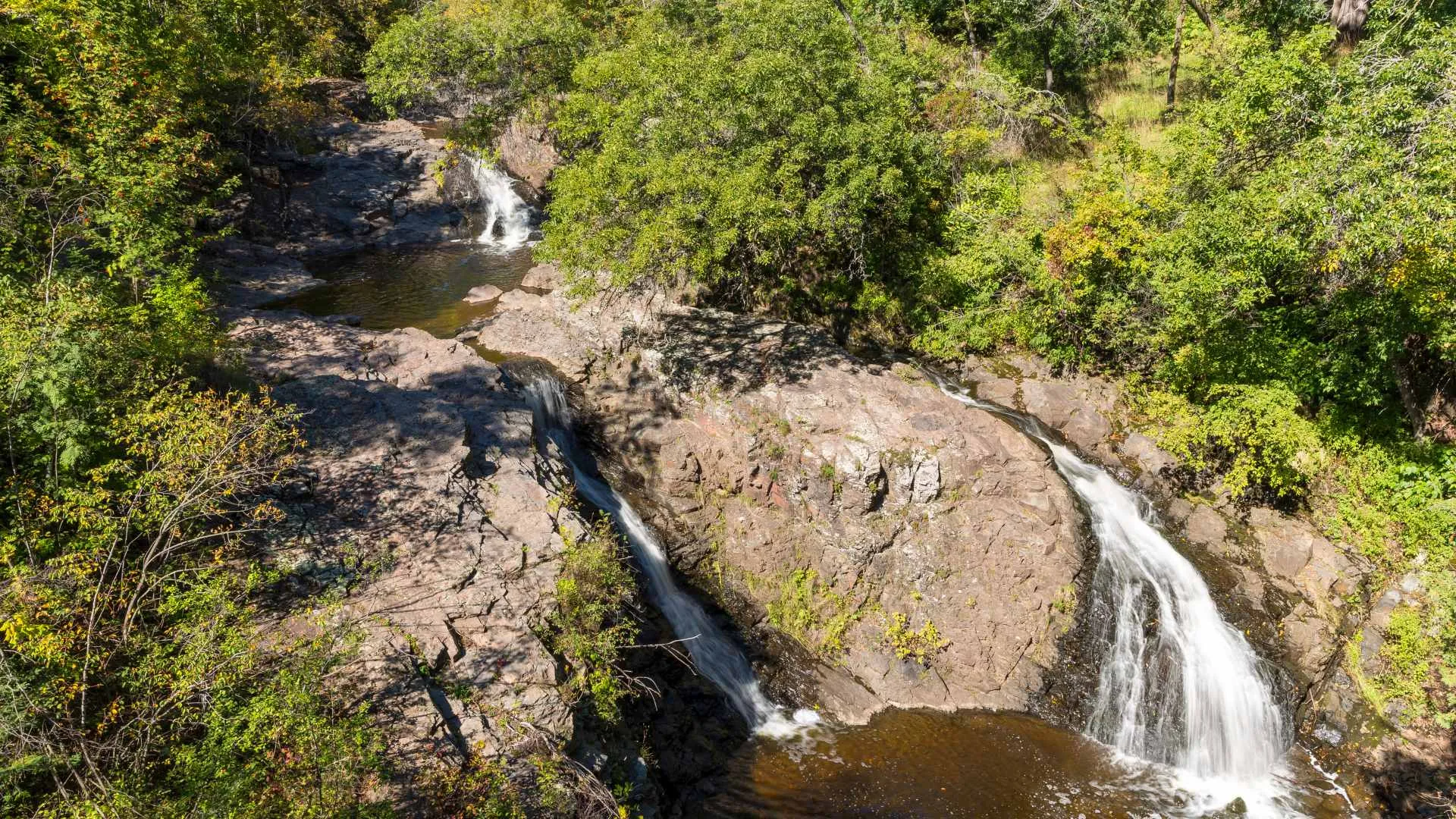
Devil's Kettle at Judge CR Magney State Park
Devil's Kettle is in Judge CR Magney State Park, not a park called Devil's Kettle. That exact name matters when checking official alerts and mapping the correct trailhead.
Treat the viewpoint as a trail objective rather than a roadside stop. Confirm the current trail status, stairs, terrain, weather, and daylight before driving from Duluth.


High Falls on the Pigeon River
The High Falls visitor experience is associated with Grand Portage State Park and the international-border landscape. It is a long regional outing from Duluth, not a last-minute city attraction.
Verify the correct approach, park status, travel documents for any separate border plans, and return timing. Seeing the border waterfall does not itself mean crossing into Canada.

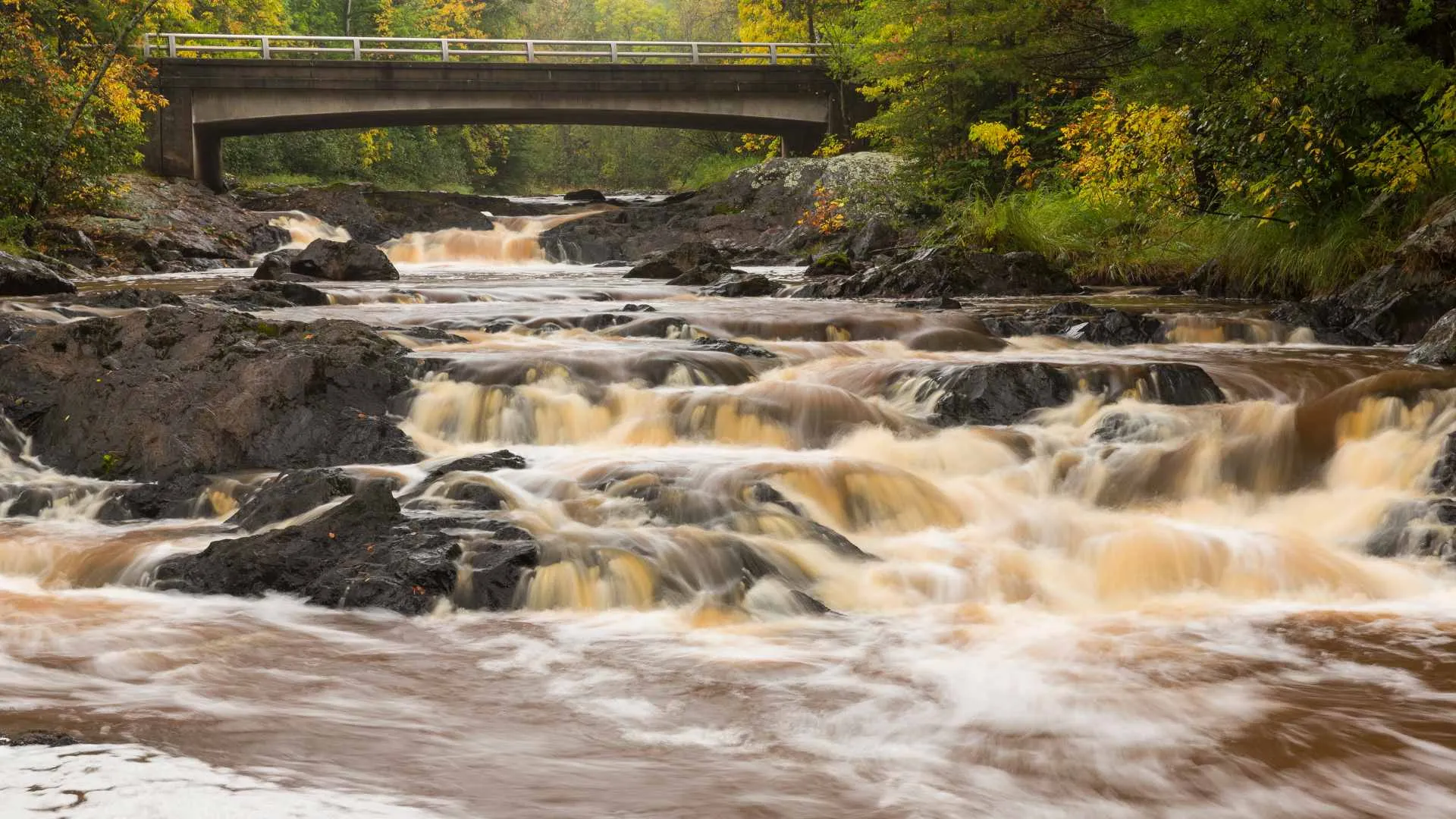
Wisconsin Waterfalls From a Duluth Base
Amnicon Falls State Park
Amnicon Falls State Park is in Wisconsin, east of Superior. It is a practical cross-border extension when you want a separate park day and have checked current trails, notices, hours, and vehicle admission.
Do not describe it as a Duluth waterfall simply because Duluth works as the lodging base. For more statewide context, use the dedicated Wisconsin waterfalls guide.


Big and Little Manitou Falls at Pattison State Park
Big Manitou Falls and the twin Little Manitou Falls are at Pattison State Park in Wisconsin. They are not in Jay Cooke State Park and should never appear beneath a Duluth or Minnesota label.
The Wisconsin DNR Pattison page is the authority for the park identity and current planning links. Confirm which trail and viewpoint fit your group rather than assuming both falls share the same access.
What Jay Cooke Is Actually For
Jay Cooke is a Minnesota state park with its own river landscape and trails, but it is not the home of Big or Little Manitou Falls. Include it only as a separate park experience supported by current Minnesota DNR information.
This correction prevents a traveler from driving to the wrong state and park. A Wisconsin waterfall road trip is the more coherent home for Pattison and other northern Wisconsin stops.


Pick the Right Trip for Your Time
Choose a City Creek Day
Stay within Duluth when you have a partial day, want flexible turnaround points, or need to combine nature with city plans. Select one confirmed park corridor and add another only after checking access.
Choose One North Shore Anchor
Choose Gooseberry, Cascade River, Judge CR Magney, or Grand Portage based on driving tolerance and trail goals. Trying to collect all four in one day turns the trip into windshield time and weakens your return margin.
Choose Wisconsin as a Separate Loop
Pair Amnicon and Pattison only if current park conditions, daylight, and your group's walking capacity support the route. Keep the state change visible in your map and admission planning.
Season and Trail Conditions Matter
Snowmelt can create powerful water and wet ground, while dry periods can reduce the visual flow. Minnesota trails can close during spring mud conditions, so a seasonal reputation is never proof of current access.
Autumn color is variable, and winter ice is not a stable viewing platform. Remain on open marked routes, stay behind barriers, and avoid creek crossings or cliff edges when footing is uncertain.
Rain upstream can change water conditions even when the immediate trailhead feels calm. Leave if water rises, the route disappears, or returning would require stepping onto flooded or icy surfaces.


Accessibility and Family Planning
Ask about the complete route from parking to viewpoint and back. A paved entrance, restroom, or overlook does not make the creek trail, stairs, gorge path, or winter surface accessible.
For children, use barriers and marked viewpoints rather than informal ledges. Adults should decide the turnaround point before excitement, fatigue, or changing weather makes that decision harder.
Build a Backup That Still Feels Worthwhile
A waterfall plan should survive one closure without sending you across the region in a rush. For a city day, pair the chosen creek corridor with a museum, lakefront walk, or another confirmed Duluth park.
For a North Shore day, identify one shorter official park route that does not depend on the same trail or river crossing. Recheck both choices before leaving because a storm or mud closure can affect a wide area.
If high water makes a gorge route uncomfortable, view from an open established overlook or switch activities. Never use another visitor's willingness to approach an edge as evidence that the surface is stable.
Winter requires a different backup because daylight, road conditions, and ice can remove several options together. Keep traction appropriate to the open route, carry warm layers, and turn around before cooling or fading light becomes the deciding factor.
A lower-water visit can still work when the forest, geology, and creek walk interest you. If your only goal is maximum flow, preserve flexibility instead of locking a long route to a specific date months ahead.
A Better Duluth Waterfall Checklist
Confirm the correct city, state, park, and manager for every stop. Then check trail notices, admission, parking, route difficulty, weather, daylight, and the distance back to Duluth.
Choose one geographic zone per half-day and keep a lower-dependency backup. That simple structure produces a better trip than an inflated list of “25-plus Duluth waterfalls” spread across two states.

Ellie is the founder of Ellie's Travel Tips, where she shares practical cruise tips, port guides, and step-by-step itineraries to help you plan smarter trips for less. Her checklists and packing guides turn travel daydreams into doable plans.