
Northern Wisconsin is too broad for one insider checklist. A useful trip starts by choosing a region, land manager, season, and activity, then checking the rules and access for that exact route.
Northern Wisconsin Travel Planning: Lake Superior, Northwoods, Parks, and Seasonal Routes


This guide uses a selected planning scope: the Lake Superior shore and Apostle Islands area, northwestern river country, north-central forests and lakes, and selected Northwoods communities. It does not treat Door County, west-central Wisconsin, and southern sites as interchangeable northern destinations.
The distinction matters because a national lakeshore, state park, state forest, national forest, municipal trail, private property, and Tribal Nation have different authorities. The right question is not simply what to see, but who manages it and what changes with the season.
Choose one regional branch
Lake Superior shore and Apostle Islands
Base this branch around Bayfield, nearby mainland sites, and a clearly defined water-access decision. The National Park Service access guide explains that the 21 islands in Apostle Islands National Lakeshore have no roads or vehicle access.
Madeline Island is the exception people often misunderstand: it has vehicle-ferry access but is not part of the national lakeshore. A mainland visit, a commercial cruise, a ferry trip to Madeline Island, and a paddle to a park island are four different plans.


Lake Superior weather can change quickly, and winter access to the islands is especially condition-dependent. Never assume a boat, kayak outing, ferry, or ice feature will be available because it operated on the same date in another year.
Northwestern rivers and forests
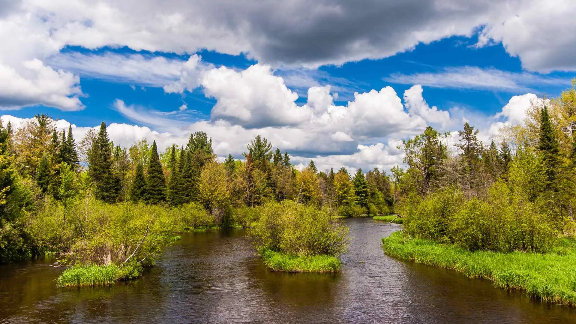
The Brule River State Forest is a long linear property containing the Bois Brule River, not one compact recreation area. Paddling sections vary, water levels can change, and camping, fishing, vehicle access, and trail use each have their own requirements.
A river-focused trip should name the launch, landing, skill level, legal equipment, current flow, and backup activity. A forest walk or Lake Superior shoreline stop is a better fallback than forcing a river plan when conditions do not fit the group.



North-central forests, lakes, and state properties
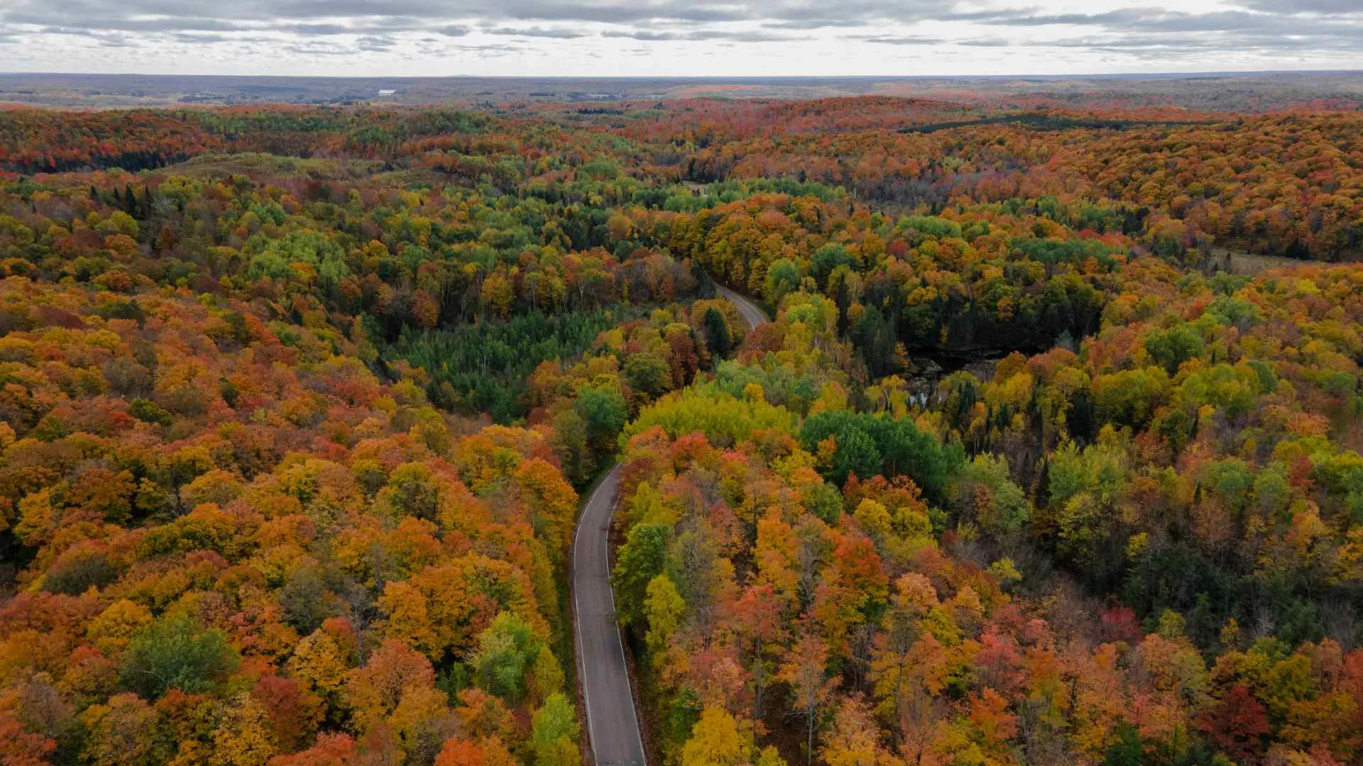
Copper Falls State Park near Mellen can anchor a state-park branch, while the Chequamegon-Nicolet National Forest offers a much larger federal-land system across multiple counties. Do not carry a state park admission rule into the national forest or assume a national-forest campsite follows Wisconsin State Park procedures.
The Forest Service overview describes more than 1.5 million acres across the Chequamegon and Nicolet sides. Site status, forest orders, fire information, roads, motorized routes, camping, and passes must be checked for the exact recreation area.


Define the route before booking
Northern Wisconsin trips often fail on map scale rather than attraction quality. Select one or two base towns, mark the governing body for each destination, and calculate the route with current road and seasonal information.
- Name the branch: Lake Superior shore, northwest river corridor, north-central forest, or northeastern Northwoods.
- Name the manager: NPS, Wisconsin DNR, USDA Forest Service, municipality, private operator, or Tribal Nation.
- Name the dependency: boat, ferry, trail, forest road, permit, reservation, snow, ice, or water level.
- Name the fallback: a mainland, indoor, or short-route option in the same area.
That method keeps the article from moving Taliesin at Spring Green into northern Wisconsin merely to lengthen a list. Travelers comparing Midwest regional boundaries may also find this Holland, Michigan guide useful.




Respect Tribal sovereignty and source culture directly
Wisconsin has 11 federally recognized Tribal Nations with distinct governments, histories, lands, and cultures. The Wisconsin Tribal information directory links to each Nation and provides a better starting point than generalized “local culture” claims.
A public event, museum, cultural center, trail, or business may welcome visitors, while a ceremony, community area, harvesting place, home, or cultural site may require permission or may not be visitor space. Use the named Nation’s current page and follow its photography, access, ticket, and conduct guidance.
Do not use Indigenous history as a decorative introduction before shifting to tourism. When a stop has an Ojibwe or other Tribal context, name the relevant Nation only when a direct source supports that relationship.


Plan by season, not by promise
Spring
Snowmelt, mud, cold water, road conditions, and variable trail surfaces can shape spring access. Confirm whether a road, campground, trail, boat service, or facility has opened rather than treating the calendar as an operating notice.
Summer
Summer expands hiking, camping, boating, and community-event options, but marine weather, wildfire smoke, insects, heat, and reservation demand remain variable. For water activities, match the exact lake or river to the group’s skills and current forecast.
Autumn
Fall color timing varies by latitude, weather, and tree mix, so no weekend can be guaranteed. Build a trip that still works if color is early, late, or muted, and check reduced operating schedules after peak summer.
Winter
Snow, grooming, ice, plowing, daylight, and equipment requirements change throughout winter. Never infer that a lake or cave approach is safe from temperature alone, and use the responsible authority’s current notice.





Match the activity to its jurisdiction
Hiking and biking
Confirm the trail manager, permitted uses, seasonal closure, surface, distance, and current condition. A snowmobile corridor, ski trail, wilderness path, and mountain-bike network should never be described as one generic multiuse trail.
Paddling and boating
Lake Superior demands a marine decision, while rivers require section-specific flow and skill information. Carry legally required equipment, use an appropriate craft, and choose an authorized outfitter when the route exceeds the group’s competence.
Fishing and hunting
Licenses, seasons, species rules, refuge closures, and land permissions are activity-specific. Check the exact water body and current Wisconsin regulations instead of relying on a lodge description or an old trip report.
Camping
Identify whether the site is state, federal, municipal, private, or Tribal, then check reservations, fees, firewood rules, fire restrictions, water, waste, and vehicle access. Dispersed camping is not an automatic right across every forested property.


Use communities as bases, not labels
Bayfield, Ashland, Mellen, Hayward, Minocqua, Eagle River, and other communities support different route branches. Choose a base for the activities nearby, then verify lodging, food, fuel, charging, medical access, and seasonal hours directly.
Do not assume a remote cabin includes reliable mobile service, plowed access, potable water, or a nearby grocery store. Ask the property for exact access instructions and cancellation terms before booking.
Visitors considering other large northern regions can compare these decisions with planning for the Yukon or New Brunswick. Those destinations differ, but the same discipline applies: define the region before building the itinerary.


Events, food, and arts require exact-date checks
Markets, powwows, art fairs, festivals, theater, ski events, and harvest celebrations can be meaningful trip anchors, but recurrence is not a confirmed date. Check the event organizer and host community before reserving transport or lodging.
For a Tribal Nation event, use the Nation’s own announcement and visitor expectations. Never treat a powwow or cultural gathering as a guaranteed performance staged for tourists.
Restaurants, breweries, farm stands, and bakeries change hours and ownership, especially seasonally. Plan a category and backup rather than presenting one business as an evergreen essential stop.


Lodging decisions for a spread-out region
Pick lodging after choosing the day’s branch, not before. A beautiful cabin on the wrong side of the route can convert every outing into a long drive and make a boat departure or winter activity less resilient.
- Lake Superior branch: Prioritize the correct harbor, mainland access, and operator meeting point.
- River branch: Confirm the launch, landing, shuttle, and where equipment can be stored.
- Forest branch: Check road surface, seasonal gate status, fire rules, and water availability.
- Winter branch: Ask about plowing, parking, heating, cancellation, and equipment storage.


A practical packing system
Pack for the exact activity and the delay that could follow it. Layers, rain protection, water, navigation, backup power, insect protection, and required safety equipment matter more than a universal northern Wisconsin packing list.
Download maps and confirmations before leaving reliable service. Tell someone the route for remote outings, and never let a weak signal become the reason to continue past a safe turnaround point.


Common planning errors
Calling every place Northwoods
Use the actual community, county, shoreline, or management unit. Door County has its own northeastern identity, while Taliesin near Spring Green is in southwestern Wisconsin and does not belong in this route.
Assuming water access
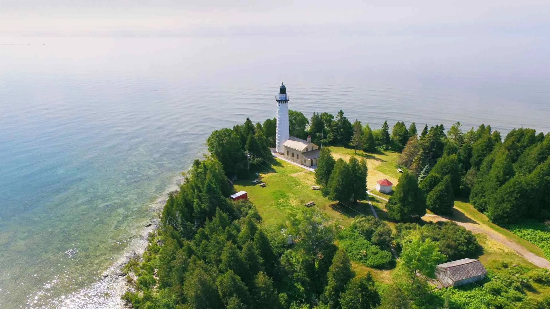
An island image does not prove road, ferry, cruise, kayak, or winter access. Identify the legal transport mode, current operator, marine conditions, and return plan.
Using one set of outdoor rules
State, federal, Tribal, local, and private lands differ. Check the manager before deciding where to camp, park, launch, ride, fish, hunt, fly a drone, or light a fire.
Promising a season
Fall color, snow, safe ice, calm water, wildlife, and open trails cannot be guaranteed. Build the trip around activities with viable alternatives.


Build the final itinerary
For a short trip, choose one branch and two activity types, such as Lake Superior mainland walks plus a conditional boat outing. For a longer trip, connect two bases only when the transfer itself remains useful under poor weather.
Write the authority beside every outdoor stop, save its live-status page, and choose a nearby fallback. This produces a more honest and flexible trip than any unsupported claim of local secrets.


Northern Wisconsin planning questions
Is Madeline Island part of Apostle Islands National Lakeshore?
No. Madeline Island has vehicle-ferry access but is not within the national lakeshore, while the park’s 21 islands have no road access.
Can one trip include the Lake Superior shore and the Northwoods?
Yes, if the traveler has enough days and chooses compatible bases. Do not assume a short stay can cover distant shoreline, forest, river, and northeastern branches without sacrificing time outdoors.
When is the best season?
There is no universal best season. Choose the activity first, then evaluate current access, services, weather exposure, reservations, and fallback options.
Are Tribal cultural sites open to visitors?
Some Nation-led public venues and events welcome visitors, while other places or activities require permission or are not visitor spaces. Use the relevant Nation’s own current information.
For another land-manager comparison, this guide to national parks in Ohio shows why exact federal, state, and local labels matter when planning outdoor travel.

Ellie is the founder of Ellie's Travel Tips, where she shares practical cruise tips, port guides, and step-by-step itineraries to help you plan smarter trips for less. Her checklists and packing guides turn travel daydreams into doable plans.