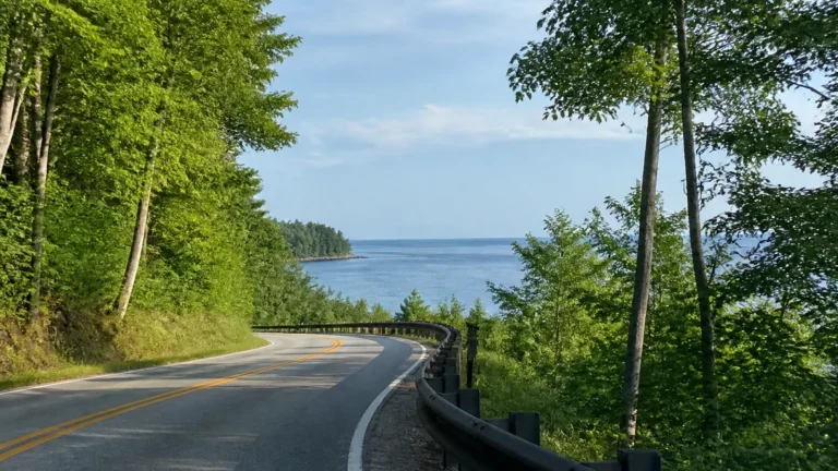
Canada Road Trip: 5 Regional Routes That Actually Work
A Canada road trip should feel expansive, not exhausting. The country is too large for one greatest-hits drive, so the smartest first trip stays within one region and gives its best roads room to breathe.
These five routes cover mountains, islands, cities, and Atlantic coastlines without pretending every mile is scenic. Pick the landscape you want, then use the timing and tradeoffs below to build a trip you will enjoy driving.
Which Canada road trip should you choose?
- Best mountain scenery: Calgary, Banff, Lake Louise, Icefields Parkway, and Jasper in 8 to 10 days.
- Best ocean and forest mix: Vancouver and Vancouver Island in 7 to 10 days.
- Best for cities and first-time visitors: Toronto, Niagara Falls, Ottawa, Montréal, and Québec City in 9 to 12 days.
- Best classic coastal drive: Nova Scotia and Cape Breton in 9 to 12 days.
- Best rugged, less-rushed adventure: Western Newfoundland in 10 to 14 days.
Do not connect these routes unless you have at least three weeks and genuinely like long driving days. Even then, flying between regions and renting a second car often buys more vacation than crossing the prairie just to say you did.
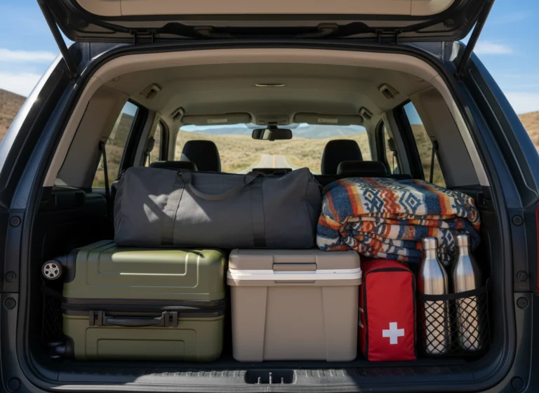
My broader road trip planning tips cover packing, vehicle checks, and sharing driving duties. Canada adds border documents, ferry reservations, wildlife, and weather swings to that familiar checklist.
Route 1: Canadian Rockies from Calgary
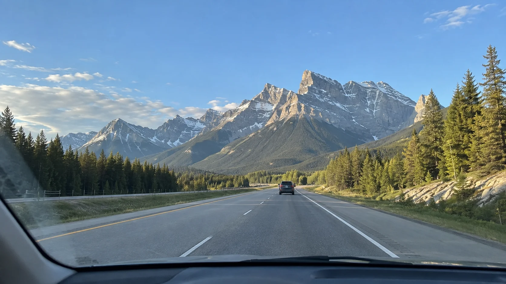
Allow: 8 to 10 days, about 620 to 800 miles depending on side trips. This is the right first Canada road trip for alpine lakes, glaciers, waterfalls, and dramatic mountain highways.
A realistic Rockies itinerary
- Days 1 and 2: Calgary to Banff, with one full day around Banff and Lake Minnewanka.
- Days 3 and 4: Lake Louise and Yoho National Park, sleeping nearby rather than commuting from Calgary.
- Day 5: Drive the Icefields Parkway and stop at viewpoints on the way to Jasper.
- Days 6 and 7: Jasper National Park, with plans adjusted for current access and recovery work.
- Days 8 to 10: Return toward Calgary, adding Kootenay National Park or a slower final night.
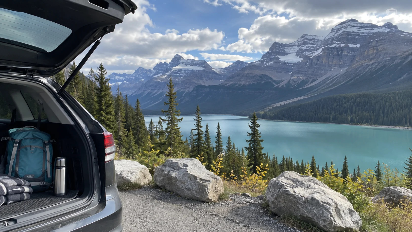
The Icefields Parkway is 144 miles between Lake Louise and Jasper, but treating it as a three-hour transfer misses the point. Parks Canada describes the Icefields Parkway as a mountain road with limited services, so fill the tank and give it most of a day.
The Rockies is also the route most likely to punish late planning. Lake Louise shuttles, popular campgrounds, and peak-summer rooms can sell out, while smoke, snow, construction, or wildlife closures may rewrite a day.
Best time: late June through September for the easiest road access, with September offering cooler weather and fewer families. May and early June can still bring snow or limited trail access at higher elevations.
Main tradeoff: spectacular scenery comes with crowds and high lodging prices. Stay in Canmore, Golden, or Hinton only after calculating how much extra driving the cheaper room creates.
Route 2: Vancouver and Vancouver Island
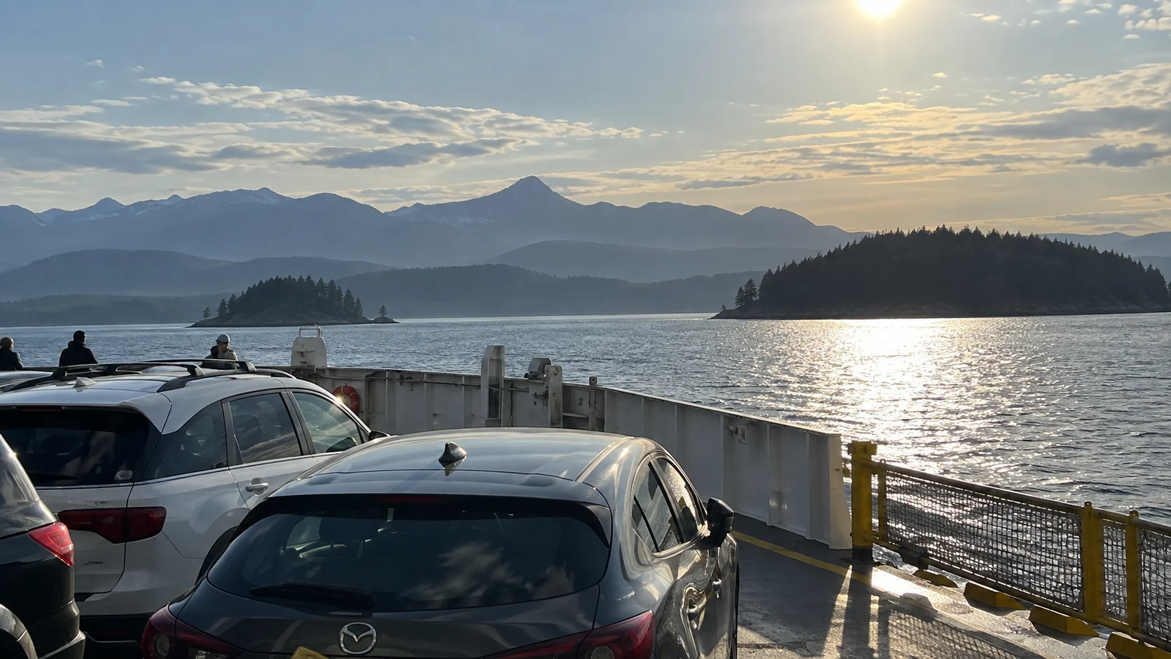
Allow: 7 to 10 days, about 350 to 550 driving miles plus ferries. This route suits travelers who want food, city time, old-growth forest, beaches, and whale-watching possibilities without a new hotel every night.
A realistic Vancouver Island itinerary
- Days 1 and 2: Vancouver without a car, using transit and walking for central neighborhoods.
- Days 3 and 4: Ferry to Victoria, then explore the harbor, gardens, and nearby coast.
- Days 5 and 6: Drive through Cowichan Valley to Parksville or Nanaimo.
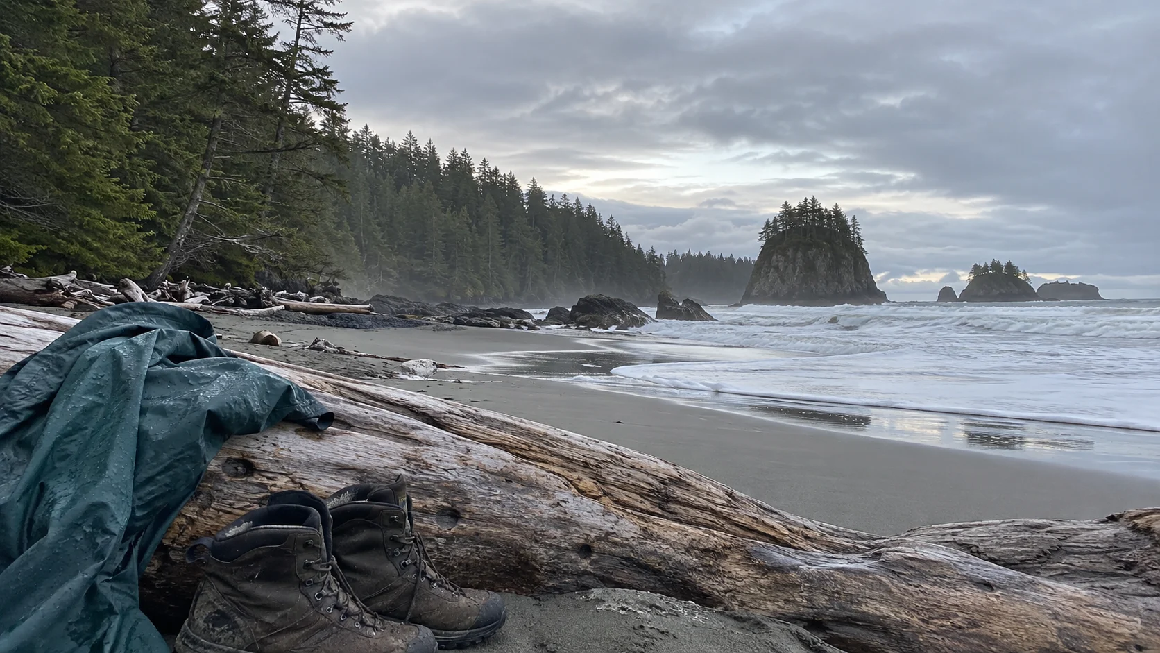
- Days 7 to 9: Continue to Tofino and Ucluelet, allowing a full day for Pacific Rim beaches and trails.
- Day 10: Return by ferry, with an overnight buffer before any separate flight.
A vehicle reservation is part of the itinerary, not an optional detail on a busy weekend. BC Ferries says advance booking secures a vehicle space, while unreserved cars are loaded in arrival order and may wait for a later sailing.
The drive to Tofino is winding and slower than its mileage suggests, and active roadwork can add delays. If you dislike long forest drives, stop in Nanaimo or Parksville and build the trip around the island’s east coast instead.
Best time: June through September for long days and the broadest activity schedule. Spring and fall can be quieter and beautiful, but rain is part of the coastal experience rather than a rare interruption.
Main tradeoff: ferries reduce spontaneity, especially with a rental car. This route works best when you reserve the major crossings and leave the smaller daily choices flexible.
Route 3: Toronto to Québec City
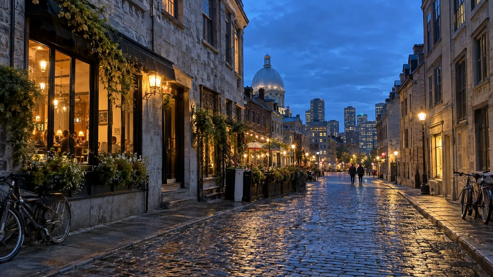
Allow: 9 to 12 days, about 625 miles before local detours. Choose this corridor for food, museums, architecture, and a mix of English- and French-speaking Canada rather than wilderness every afternoon.
A realistic cities itinerary
- Days 1 and 2: Toronto, leaving the car parked while you explore downtown.
- Day 3: Niagara Falls and Niagara-on-the-Lake, with an overnight nearby.
- Days 4 and 5: Ottawa for national museums, the canal, and walkable central sights.
- Days 6 and 7: Montréal, again parking the car and using transit.
- Days 8 to 10: Québec City, with extra time for Île d’Orléans or Montmorency Falls.
- Days 11 and 12: Return or add a slower rural leg rather than another major city.
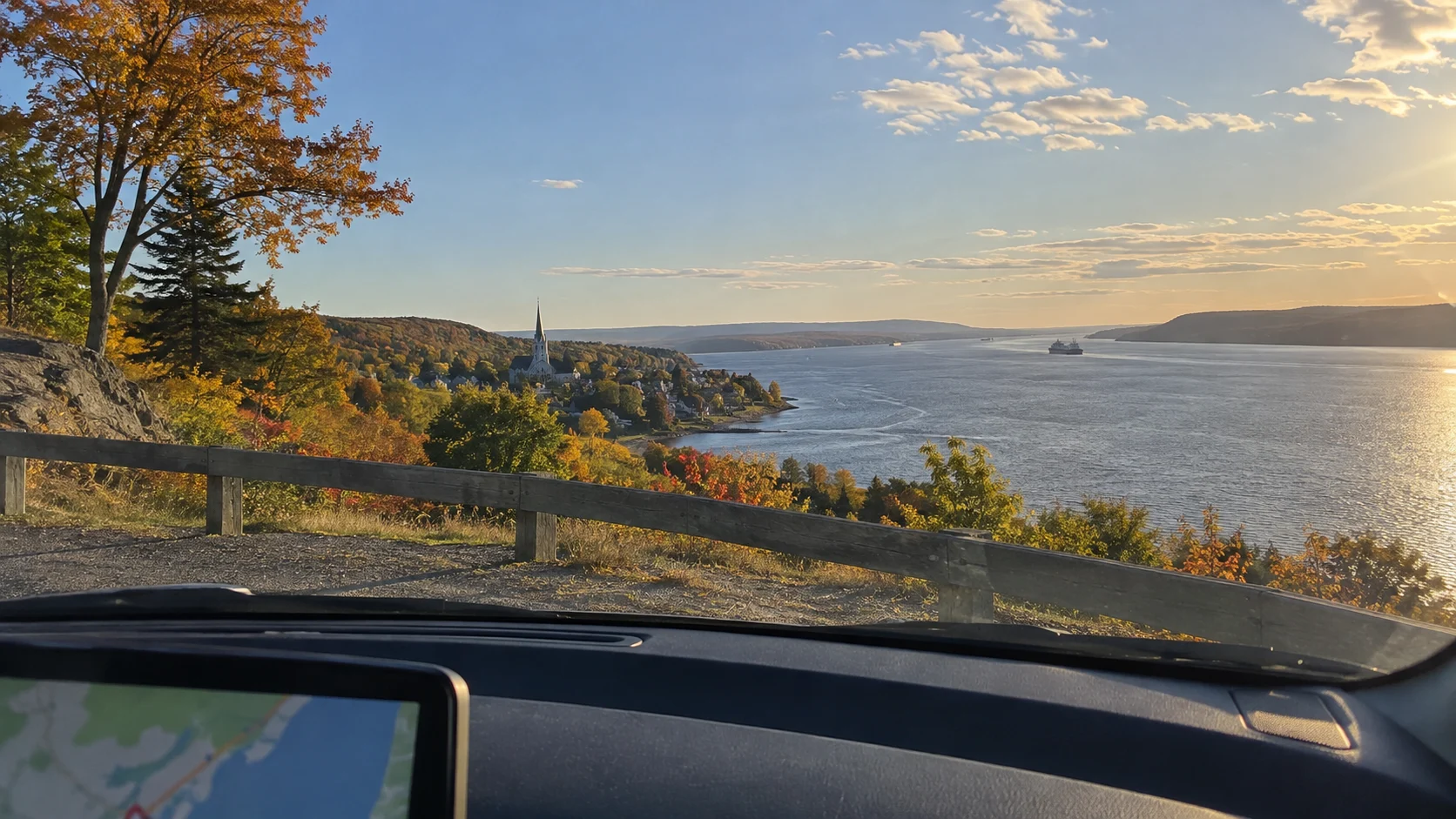
Montréal to Québec City takes roughly three hours on the fastest highway in ordinary conditions, but the more interesting choice is the slower Chemin du Roy through riverside communities. My detailed Québec road trip itinerary helps decide where that slower route earns an extra night.
One-way rental fees can make this route surprisingly expensive, so price both a Québec City drop-off and a round-trip loop before booking flights. Toronto traffic can also consume the time you thought you saved by choosing the freeway.
Best time: May, June, September, and early October for comfortable walking weather. July and August bring festivals and energy, along with higher room rates and heavier traffic.
Main tradeoff: a car is useful between cities and annoying inside them. Choose hotels with parking or stay near transit, then leave the vehicle alone until departure morning.
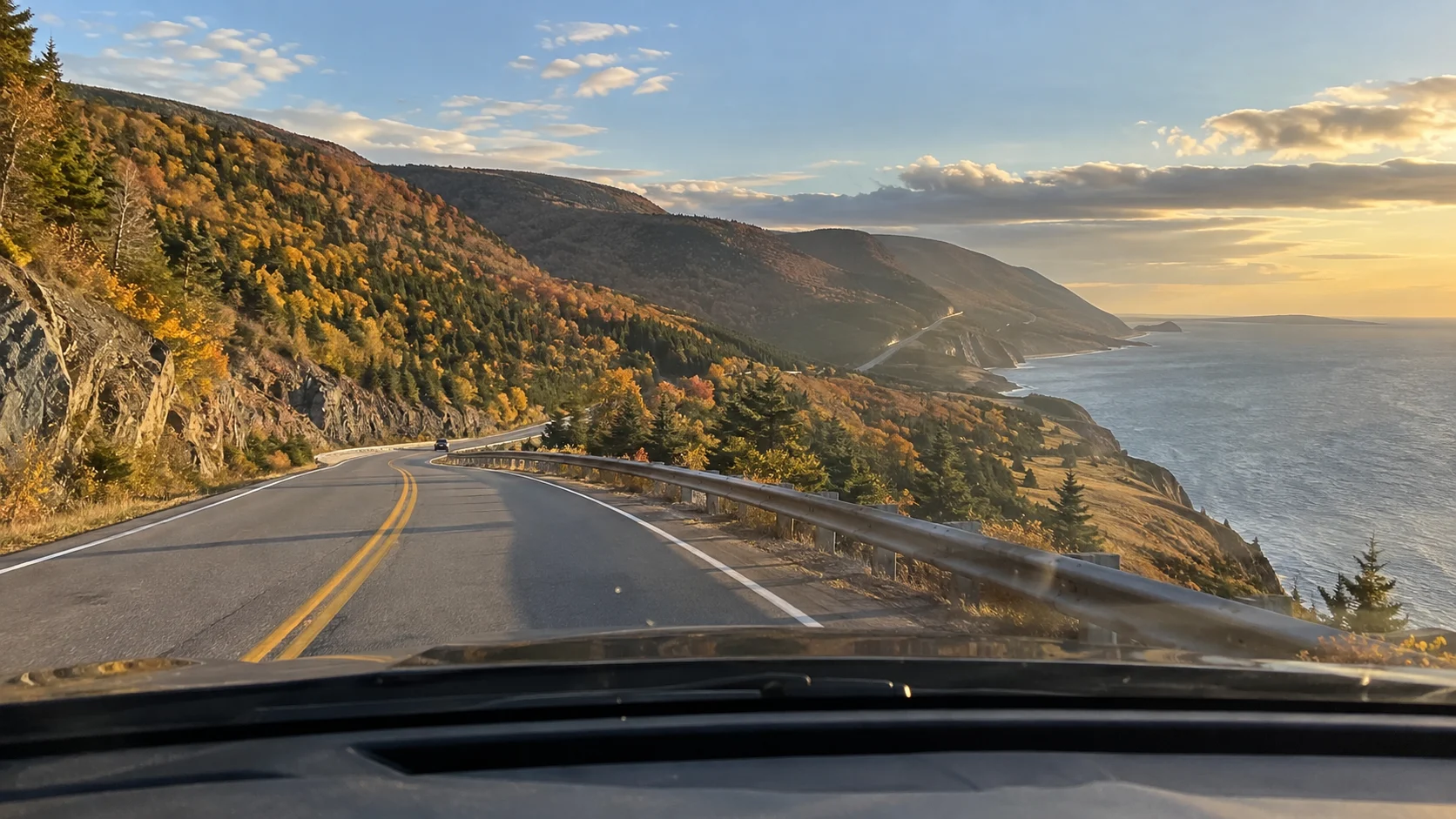
Route 4: Nova Scotia and Cape Breton
Allow: 9 to 12 days, about 800 to 1,000 miles. This is my pick for travelers who picture a Canada road trip as lighthouses, fishing villages, coastal hikes, and seafood rather than a string of big attractions.
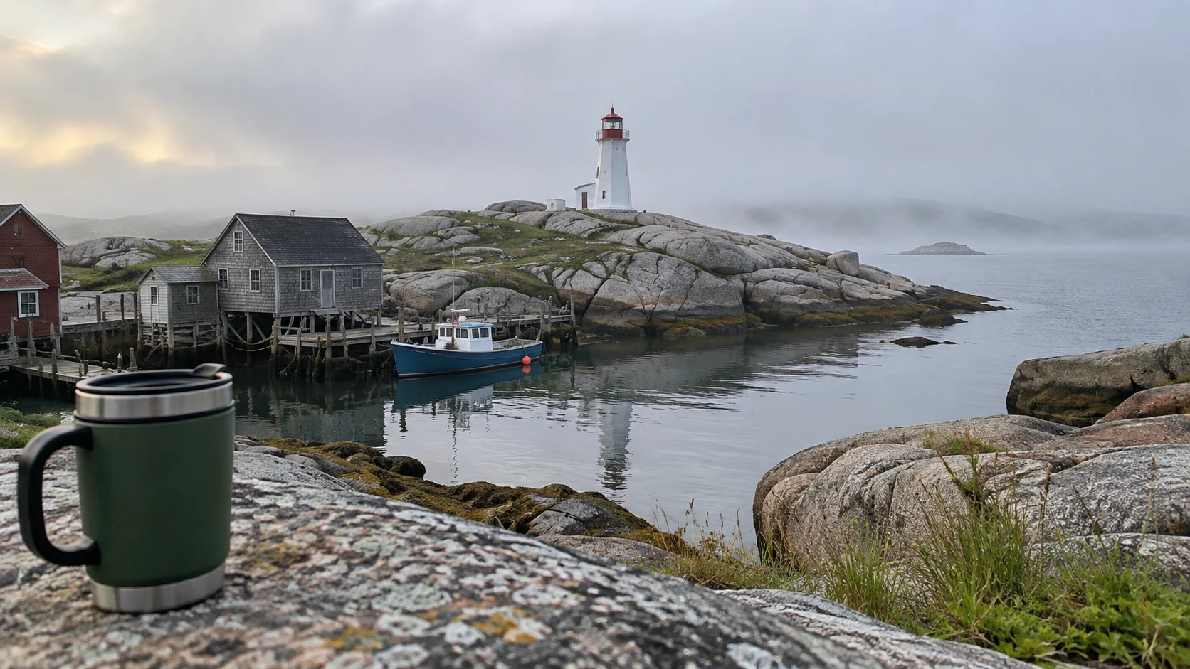
A realistic Nova Scotia itinerary
- Days 1 and 2: Halifax, including the waterfront and one full city day.
- Days 3 and 4: Peggy’s Cove, Lunenburg, and the South Shore with one coastal overnight.
- Days 5 and 6: Annapolis Valley or the Bay of Fundy, timed around tides rather than a rigid clock.
- Days 7 to 10: Cape Breton and the Cabot Trail, staying on both sides if you plan to hike.
- Days 11 and 12: Return to Halifax with weather room before your flight.
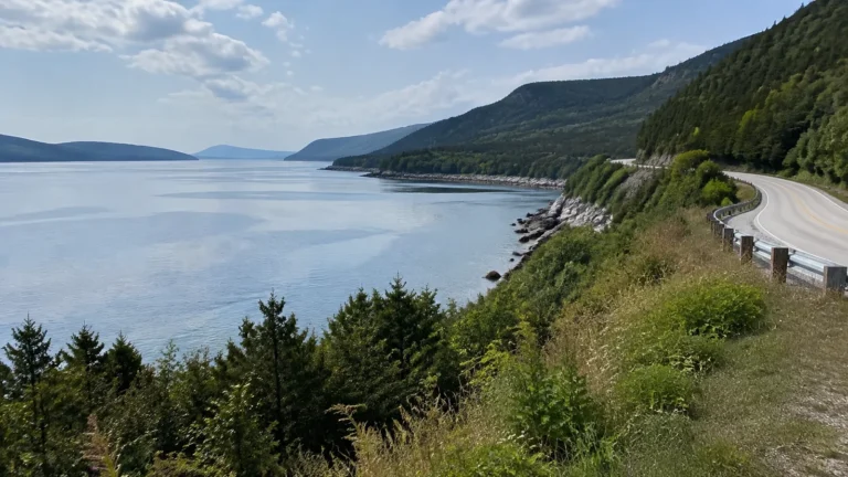
The Cabot Trail is about 185 miles, yet it deserves two or three days if you want the Skyline Trail, beaches, lookouts, and community stops. Nova Scotia’s official Cabot Trail planning page also warns that winding roads, weather, traffic, and limited fuel inside the national park slow the loop.
Do not squeeze Prince Edward Island and New Brunswick into this schedule just because they look close on a national map. If the Bay of Fundy is your priority, my New Brunswick trip ideas make a better second itinerary than a two-night detour.
Best time: late June through early October, with September balancing open businesses and lighter traffic. Fall color is lovely but not guaranteed on one exact weekend.
Main tradeoff: the scenic stops are spread out and coastal weather changes quickly. Two-night bases keep the trip restful and give you a second chance when fog hides a view.
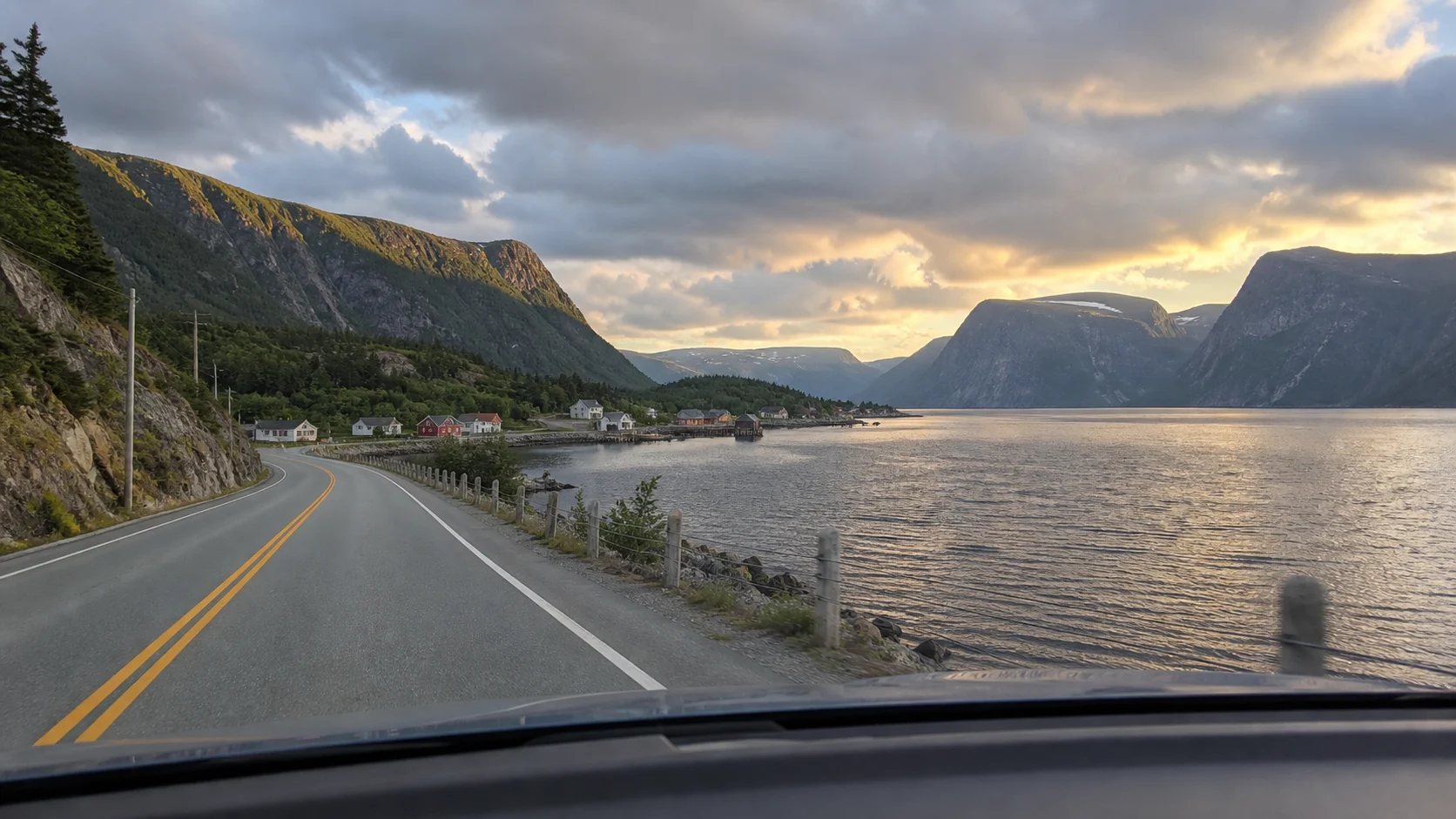
Route 5: Western Newfoundland
Allow: 10 to 14 days, about 900 to 1,200 miles. Western Newfoundland is best for travelers who accept longer distances in exchange for fjords, fishing communities, unusual geology, and a trip that feels genuinely remote.
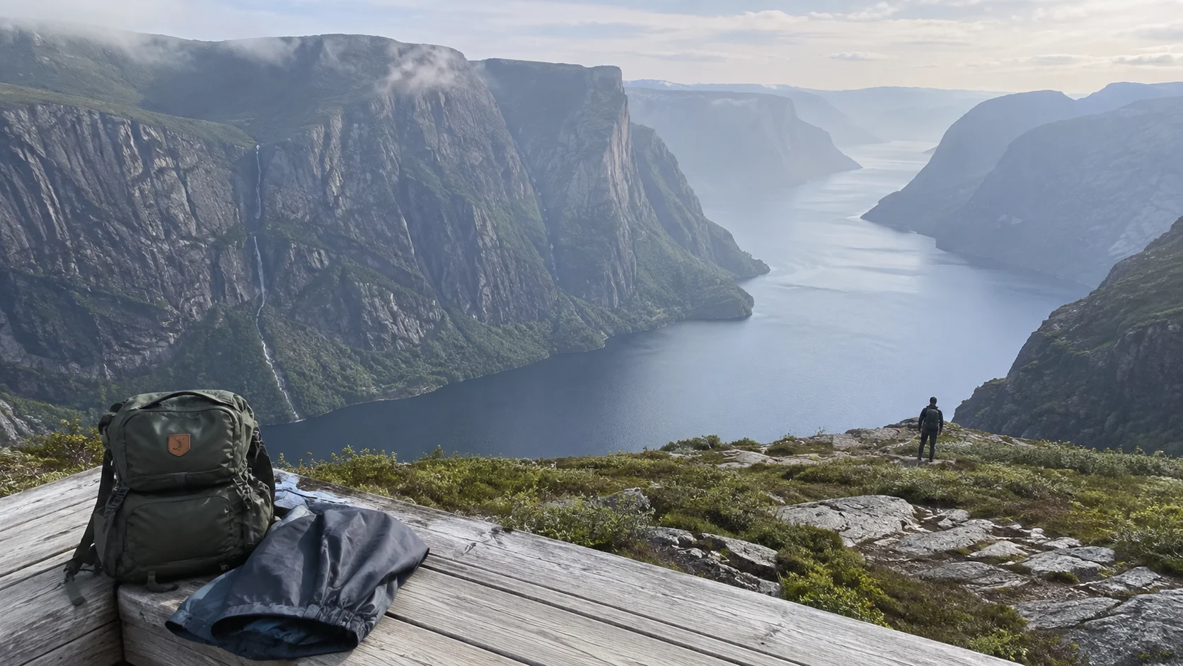
A realistic western Newfoundland itinerary
- Days 1 and 2: Arrive near Deer Lake and settle into Gros Morne National Park.
- Days 3 to 5: Gros Morne hikes, coastal villages, and a weather backup day.
- Days 6 and 7: Drive north with an overnight break rather than rushing the peninsula.
- Days 8 and 9: L’Anse aux Meadows and the St. Anthony area.
- Days 10 to 12: Return south, adding another Gros Morne base or quiet coastal stop.
- Days 13 and 14: Hold a buffer for weather, ferries, or a relaxed departure.
The distance from Gros Morne to the Viking site at L’Anse aux Meadows is substantial, so a day trip is the wrong shape. Stay in the north, watch fuel levels, and expect limited evening dining outside larger communities.
Best time: June through September for the most reliable visitor services. June can still feel cold, while September is quieter but requires closer attention to seasonal hours.
Main tradeoff: this route asks for more driving and more flexibility than the others. It pays that effort back with scale, quiet, and landscapes that do not feel arranged for tour buses.
Named bases and stops for each driving day
These are my suggested stop sequences and planning allowances, not timed reservations or guaranteed drive times. Driving estimates exclude meals, walks, city traffic, ferry waits, and emergency detours, so check the route each morning and keep one optional stop easy to drop.
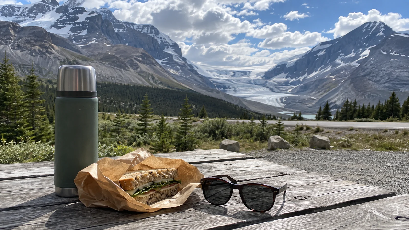
Rockies: a day plan from Calgary to Jasper
Days 1 and 2: drive Calgary to Banff in about 1.5 to two hours, sleep in Banff or Canmore, and choose Bow Falls and Lake Minnewanka as easy anchors. Days 3 and 4: move to Lake Louise in about an hour, use the reserved lake transport, and give Yoho’s Emerald Lake a separate half-day when access permits.
Day 5: follow the Icefields Parkway north in the order Bow Lake, Peyto Lake viewpoint, Columbia Icefield roadside viewpoints, and Athabasca Falls, giving the 230-kilometer drive a full day with short walks. Days 6 and 7 belong to a Jasper base with locally open sights; return via Lake Louise for a final night before Calgary rather than attach a major hike to the airport drive.
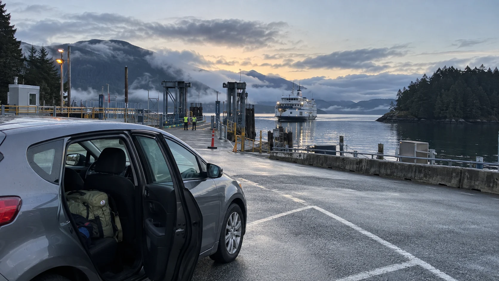
Vancouver Island: separate the ferry and west-coast days
Days 1 and 2: sleep in Vancouver and explore Stanley Park’s waterfront and Granville Island without a car. Days 3 and 4: reserve the Tsawwassen-to-Swartz Bay vehicle ferry, allow a half-day for check-in, sailing, and the onward drive, then sleep in Victoria for the Inner Harbour and a garden visit.
Days 5 and 6: drive Victoria through Duncan toward Parksville in roughly 2.5 to three hours, stopping for Cowichan Valley food if time allows. Days 7 to 9: continue through Port Alberni toward Ucluelet or Tofino, allowing roughly three hours plus road delays, and choose a Pacific Rim beach outing; Day 10 returns toward Nanaimo with an overnight near the confirmed ferry or flight connection.
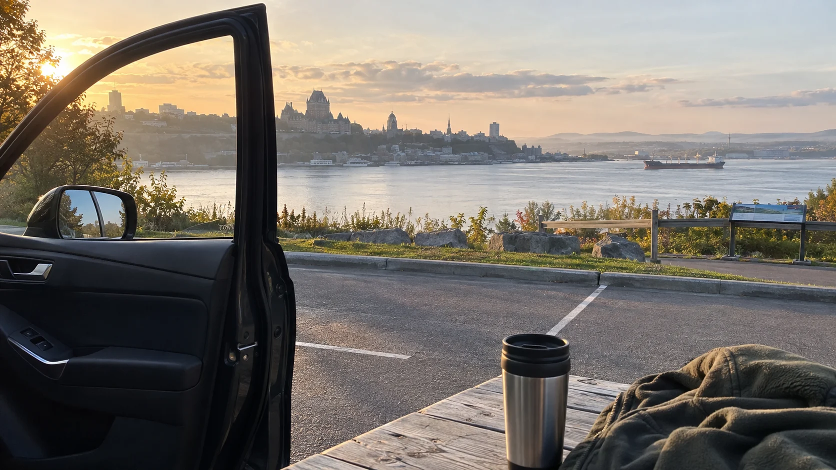
Ontario and Québec: the travel days worth protecting
After two Toronto nights, drive roughly two hours to Niagara Falls on Day 3 and sleep in Niagara-on-the-Lake after the falls promenade. Day 4 is the long transfer to Ottawa, roughly six hours before traffic, so use Kingston only as a meal and waterfront break and keep Day 5 for the Rideau Canal and a national museum.
Drive Ottawa to Montréal in roughly two to 2.5 hours for Days 6 and 7, then Montréal to Québec City in about three hours for Days 8 to 10. I would choose Old Québec first, Montmorency Falls on the next day, and a one-way rental return when the price is reasonable, because a drive back to Toronto needs its own full travel day.
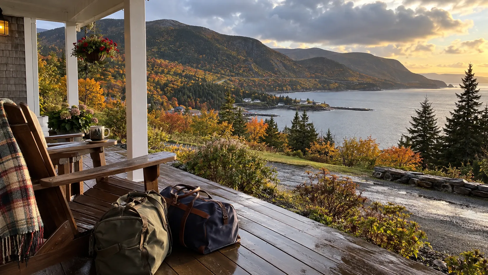
Nova Scotia: bases on both sides of the Cabot Trail
After two Halifax nights, use Day 3 for Peggy’s Cove from dry, permitted viewing areas and sleep in Lunenburg, about two hours of direct driving plus stops. Stay for a waterfront morning on Day 4, move toward Wolfville for Days 5 and 6, and use the tidal shoreline only with locally confirmed safe access.
Day 7 is the long drive from Wolfville toward Baddeck, roughly five hours before stops; then sleep in Chéticamp on Day 8 and Ingonish on Day 9 before returning through Baddeck toward Halifax. I would prioritize the 6.5-kilometer return Skyline walk with the required seasonal parking reservation, choosing the 0.5-kilometer Bog boardwalk when fog, energy, or booking availability makes the longer outing a poor fit.
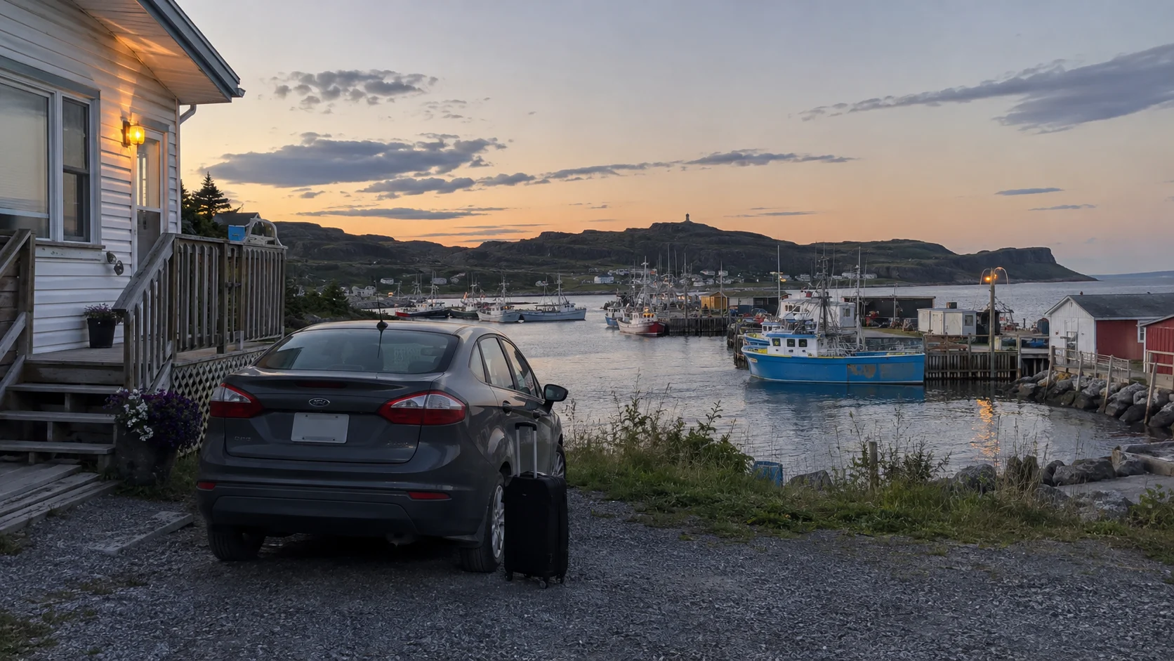
Western Newfoundland: name the northern overnight
Days 1 and 2: travel from Deer Lake to Rocky Harbour, roughly an hour, and use Lobster Cove Head as a short first outing. Days 3 to 5: keep Rocky Harbour for the Western Brook Pond approach, 2.7 kilometers each way before the separately booked boat, and use a second base around Woody Point for the Tablelands if you want less backtracking.
Days 6 and 7: drive north on Route 430 to Port au Choix for an overnight and the national historic site, then continue to St. Anthony, allowing roughly 2.5 to three hours of driving on each leg. Days 8 and 9: give L’Anse aux Meadows at least three hours and keep a weather day in the north; Days 10 to 12 return through a Port au Choix break toward Gros Morne and Deer Lake, using extra days for weather rather than another long detour.
Canada road trip planning essentials
Bring the right border documents
U.S. travelers should check requirements for both entering Canada and returning to the United States. The Canada Border Services Agency recommends that U.S. citizens travel with a valid passport and lists other accepted proof of identity and citizenship on its entry-document page.
A standard REAL ID driver’s license is not automatically a border document. Children, permanent residents, dual citizens, and travelers with past criminal convictions may face different requirements, so verify your exact situation before paying for nonrefundable reservations.
Reserve the parts with hard capacity
Book ferries, high-demand park shuttles, campgrounds, and remote lodging before filling in restaurants and minor stops. Parks Canada publishes location-specific launch dates through its reservation service, and popular summer inventory can move quickly.
Use provincial road information
Canada does not have one perfect national road-condition screen for every province. Check the relevant provincial 511 or transportation site each driving morning for closures, construction, wildfire effects, and winter conditions.
Build days around time, not mileage
A comfortable scenic day may cover only 120 miles when it includes hikes, viewpoints, lunch, and wildlife delays. I would cap ordinary transfer days near four hours and use a longer push only when it buys a two-night stay.
Respect wildlife and distance
Never stop in a travel lane for an animal, feed wildlife, or step out near a bear for a photograph. Pull over only where it is legal and safe, then follow the park or province’s posted distance rules.
Canada road trip questions
How long do you need for a Canada road trip?
Seven days works for one compact region, while 10 to 14 days is better for the Rockies, Atlantic Canada, or Newfoundland. A coast-to-coast drive needs several weeks and will still involve many transit-heavy days.
Should you rent a car or drive your own?
Use your own car when a border crossing fits the route and the vehicle is reliable; rent when a one-way flight saves several vacation days. Confirm that the rental agreement permits ferries, border crossings, gravel roads, and your planned drop-off location.
What is the best month for a Canada road trip?
September is the best all-around compromise for many southern routes, with fewer families and generally open services. The Rockies and Newfoundland can turn cold early, while fall color and smoke conditions vary each year.
The best Canada road trip is regional
Choose the Rockies for maximum drama, Vancouver Island for a balanced coast trip, Ontario and Québec for cities, Nova Scotia for classic maritime scenery, or Newfoundland for rugged quiet. None is objectively best, but each becomes much better when you stop treating Canada like one manageable loop.
Leave one day partly unclaimed, reserve the bottlenecks, and let a scenic road take longer than the map predicts. That is the version of a Canada road trip worth remembering.