
Drumheller works best when you divide the valley into manageable routes instead of treating every badlands attraction as one downtown cluster. The town, museum, hoodoos, coal heritage sites, canyons, and seasonal ferry each require their own access check and realistic amount of time.


Understand Drumheller and the Canadian Badlands
Drumheller is a town and useful visitor base within the much larger Canadian Badlands region. It is not a single park, and not every famous fossil landscape or badlands destination is located within the Drumheller Valley.
The provincial Canadian Badlands overview is a useful starting point for regional geography. Keep Dinosaur Provincial Park separate from Drumheller because it is a different destination with its own access, programs, rules, and travel requirements.
This geographic discipline makes a trip easier. Rather than collecting a long attraction list, choose a town module, west-valley module, east-valley module, and optional wider drive based on current conditions and personal priorities.
Start with a valley-based plan
Drumheller town
Use the town for lodging, meals, visitor information, and municipal landmarks, subject to current business and site hours. A giant dinosaur, riverside walk, bridge, or viewpoint seen in an old post may have access restrictions or maintenance that affects the visit.
Downtown is also the place to reset between driving loops. That is particularly useful for travelers who want to avoid stacking exposed canyon terrain, a major museum, and a long regional drive into one exhausting day.
West valley
The west-valley route is associated with the Royal Tyrrell Museum area in Midland Provincial Park and landscapes such as Horsethief Canyon. These are separate sites, so check museum entry and park or viewpoint conditions independently.
Continue west only after confirming roads and any seasonal crossing in the intended loop. The Bleriot Ferry is a transportation dependency, not a guaranteed attraction, and its operation can change.

East valley
The east-valley corridor leads toward Rosedale, the Willow Creek Hoodoos, East Coulee, and coal-mining heritage sites. These places do not share one set of hours, tickets, physical demands, or permissions.
Travel Drumheller's east and west valley route information helps explain the separation, but any dated transportation schedule needs a fresh check. Confirm individual venues directly before relying on a tour or timed entry.
Royal Tyrrell Museum planning
The Royal Tyrrell Museum is the anchor for many fossil-focused visits, but it should not be treated as a casual walk-in guarantee. Check official admission, timed-entry, exhibit, program, parking, and accessibility information for the actual date.
Give the museum a dedicated block rather than squeezing it between distant canyon stops. Visitors who like detailed exhibits may need much more time than someone primarily interested in a short introduction.
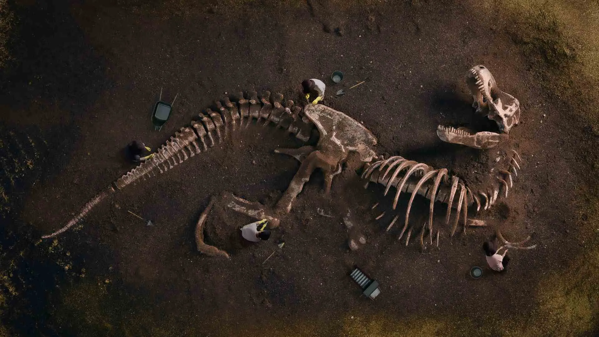
Fossils displayed in a museum and fossils encountered on public land involve different rules. Do not remove fossils, rocks, or other natural material simply because the region is famous for paleontology.
If a fossil or possible fossil is found, leave it in place and follow the current provincial reporting guidance. Avoid sharing a precise location publicly until the appropriate authority explains what to do.

Visit the hoodoos without damaging them
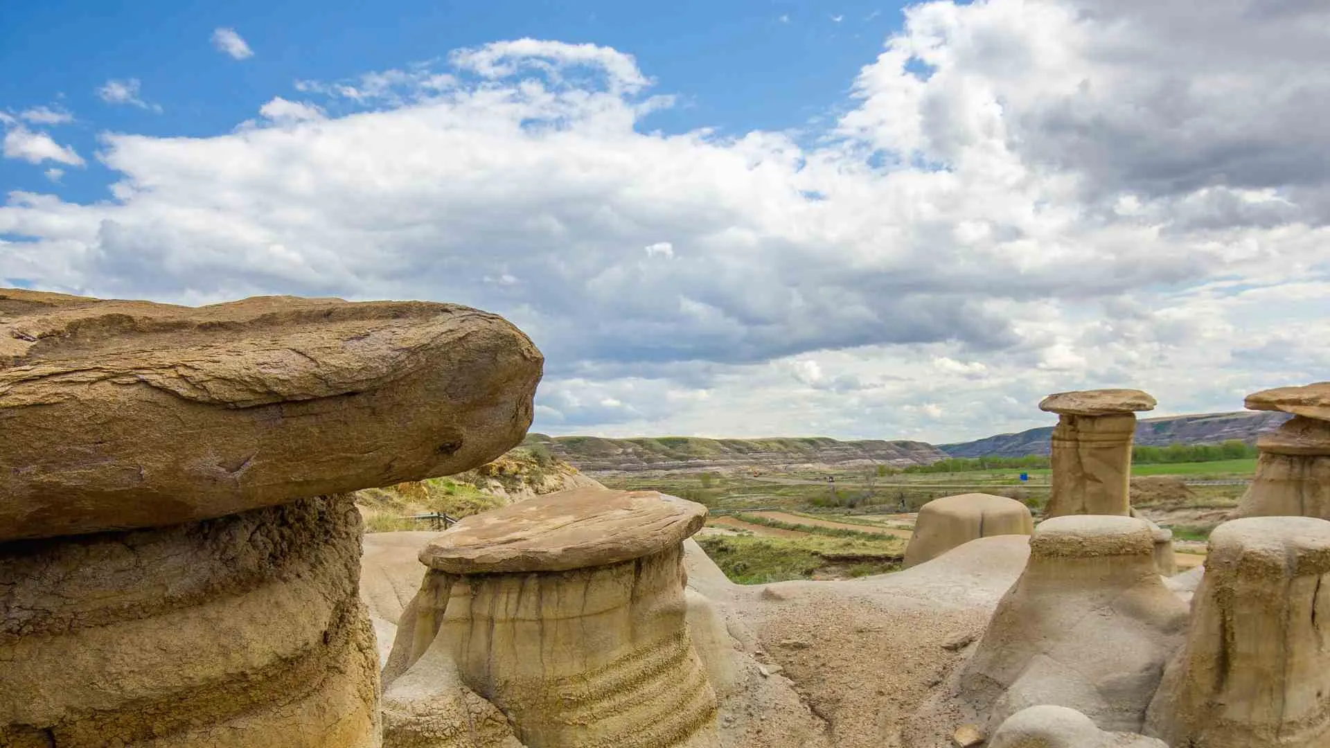
The managed Willow Creek Hoodoos site lies east of town along Highway 10. Current Willow Creek Hoodoos guidance directs visitors to remain on designated pathways and follow signs that protect the formations.
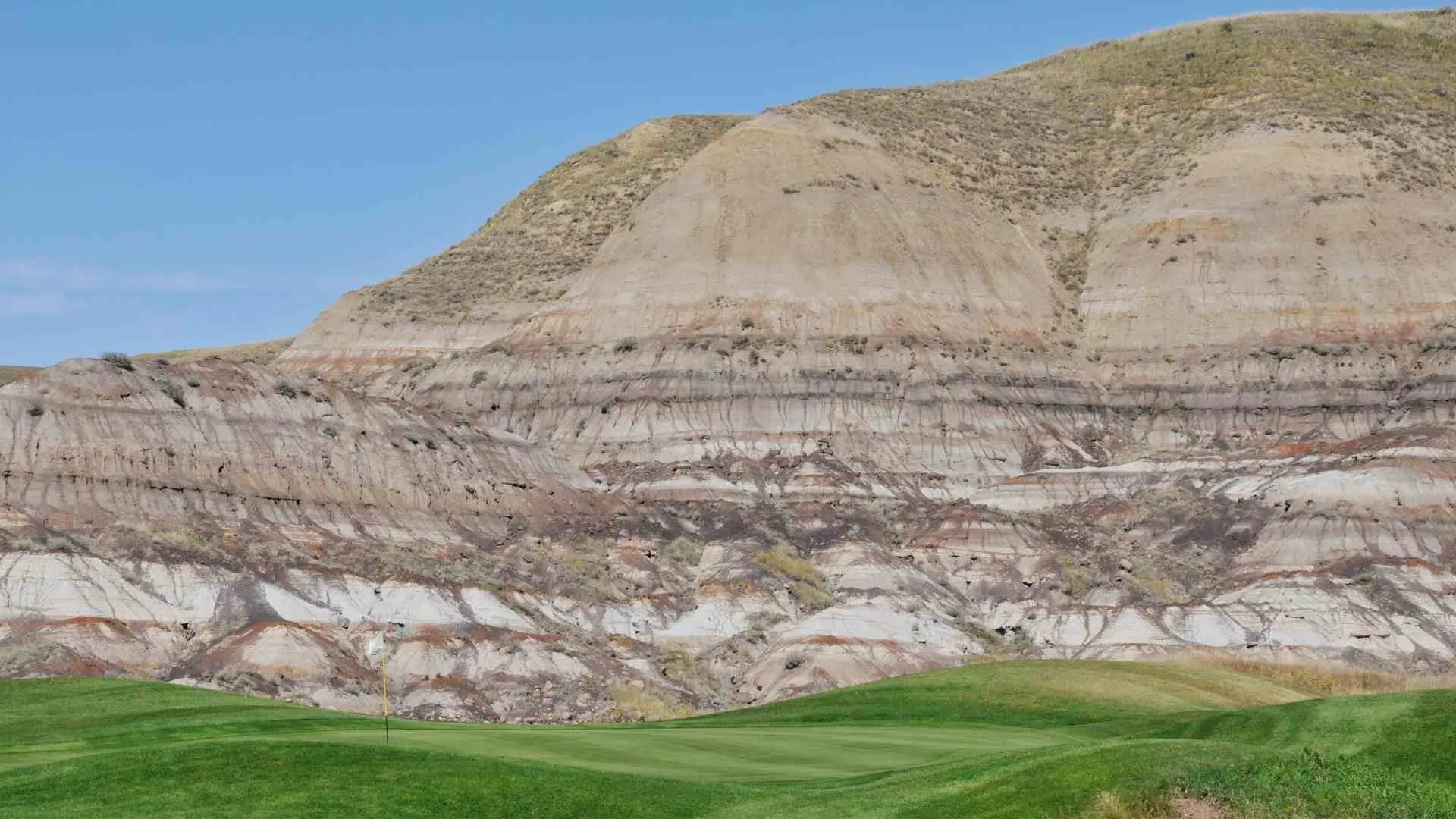
Do not climb a hoodoo, scramble up a fragile slope for a photograph, or interpret a worn social path as permission. Erosion is the process that formed this landscape, and concentrated foot traffic can accelerate damage.
Wind, heat, cold, rain, and muddy surfaces can change the comfort and risk of a short visit. Bring suitable footwear and water, but use current weather and site information rather than assuming the exposed terrain will be easy.
Coal history east of town
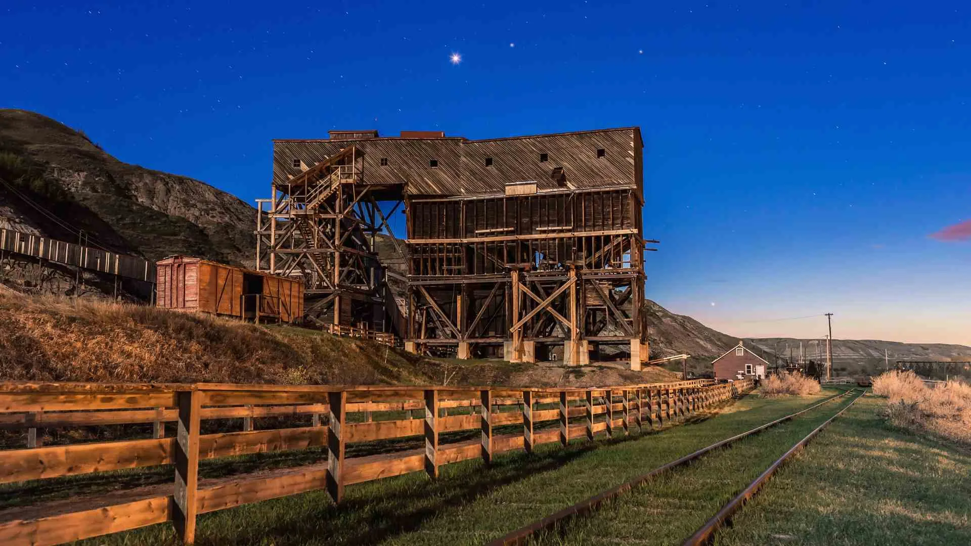
East Coulee and the Atlas Coal Mine area add an industrial-history layer that is distinct from dinosaur tourism. Mine buildings, machinery, tours, and closed working areas require site-specific rules rather than casual exploration.
Confirm whether the exact tour or building you want is operating and whether advance booking is needed. Do not enter a closed mine structure or climb equipment because an older photograph shows someone in that location.
Wayne and Rosedale may fit the same driving day, but a route map is not proof that every bridge, business, or historic site is accessible. Choose a few meaningful stops and retain time to turn around when signage or conditions change.

Canyons and viewpoints
Horseshoe Canyon
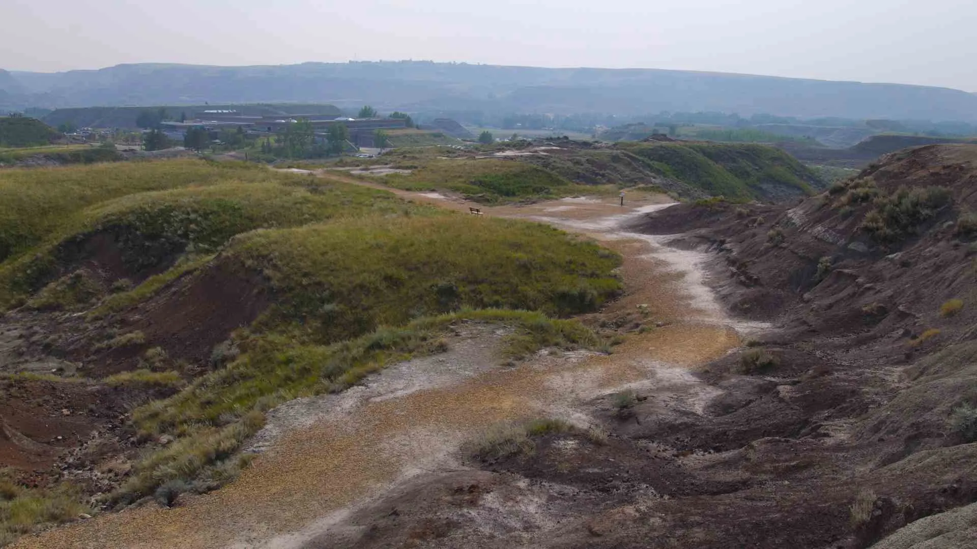
Horseshoe Canyon is commonly approached as a viewpoint and badlands walk outside the central town area. Verify access, weather, trail surface, and closures before descending rather than assuming every informal line on the slope is a maintained path.
The return climb can feel very different from the descent, especially in heat, wind, mud, or smoke. A traveler who is uncomfortable with the surface can still value the landscape from an open, designated viewpoint.
Horsethief Canyon
Horsethief Canyon belongs to the west-valley side of the itinerary and should not be confused with Horseshoe Canyon. Treat it as a separate stop whose safe and lawful access depends on current signs and ground conditions.
Do not repeat unsupported claims about Indigenous rock art or cultural features. If a managing authority or Indigenous source identifies a cultural place, follow its wording and access protocol rather than turning it into a photo hunt.
Dinosaur Trail and the Bleriot Ferry
A west-valley loop may use Highway 838 and the Bleriot Ferry, but the crossing is seasonal and operational status belongs to Alberta transportation authorities. Check Alberta 511 and ferry information on the day of the drive.
Have a route that does not depend on the ferry. Weather, river conditions, maintenance, and seasonal transition can interrupt operation even when a previous itinerary describes the loop as straightforward.
This is one reason a flexible Canada road trip framework is more useful than a minute-by-minute plan. It helps travelers distinguish high-priority stops from optional route additions.

How many days to allow
A short stay can focus on the museum, one protected badlands site, and the town. A longer stay can separate east and west valley routes, which reduces backtracking and makes weather changes easier to manage.
Do not choose a duration from a universal checklist. Museum interest, walking ability, heat tolerance, children, photography, tour availability, and ferry plans all affect how much is reasonable.
Travelers comparing several Canadian regions can use the Ontario travel guide as a reminder that distances and site density vary enormously by province. Drumheller's attractions may look close on a map while still requiring distinct drives and parking decisions.
Weather and seasonal tradeoffs
No season guarantees dry trails, comfortable temperatures, clear air, or open attractions. Check forecasts, wildfire and smoke information, roads, ferry operation, and venue schedules close to the trip.
Rain can make bentonite-rich badlands surfaces slick and damaging to walk on. Heat and direct sun can make a visually short route more demanding, while cold and wind can change exposed viewpoints quickly.
Use indoor and outdoor modules that can swap places. The museum may be useful during poor outdoor conditions, but capacity and timed-entry rules can prevent it from being an automatic backup.
Responsible photography and fossil etiquette
Photograph from durable surfaces and designated paths. Never step across a barrier, climb a formation, block a narrow road, or stand on private property for a more dramatic angle.
Leave fossils, rocks, plants, and artifacts where they are. A photograph and a properly reported location preserve far more scientific value than a souvenir removed without context.
For another landscape where access rules matter more than a dramatic social-media image, compare the site's Eagle Plains road-planning guide. The environments differ, but both reward restraint and current checks.

A practical two-route structure
East-valley day
Combine the managed hoodoo site with one or two coal-heritage stops whose access has been confirmed. Keep enough time to follow posted routes, handle changing weather, and skip a closed venue without rushing elsewhere.
West-valley day
Center the day on the Royal Tyrrell Museum, then add a west-valley viewpoint or loop only if energy, weather, roads, and ferry information remain favorable. A museum reservation should not force a risky drive to preserve every optional stop.
Town reset
Use town time for meals, visitor information, short public walks, and schedule adjustments. If a landmark or bridge is closed, respect the closure and substitute a lawful public space rather than approaching from an unofficial side.
Final planning checklist
Keep a simple offline note with each confirmed venue's address, reservation details, and operating contact. That reduces confusion when cellular service is inconsistent or two attractions with similar names sit on opposite sides of the valley.
- Keep Drumheller separate from Dinosaur Provincial Park and the wider badlands region.
- Confirm Royal Tyrrell entry, programs, parking, and accessibility.
- Stay on designated paths and never climb the Willow Creek Hoodoos.
- Check mine tours, buildings, bridge access, roads, and the Bleriot Ferry individually.
- Leave fossils and rocks in place and follow current reporting rules.
- Build east and west valley modules that can change with conditions.

Drumheller's appeal comes from several stories sharing one valley: paleontology, erosion, transportation, mining, and modern community life. Keeping those places distinct produces a more accurate, less rushed, and more respectful trip.

Ellie is the founder of Ellie's Travel Tips, where she shares practical cruise tips, port guides, and step-by-step itineraries to help you plan smarter trips for less. Her checklists and packing guides turn travel daydreams into doable plans.